• Welcome to the new NAXJA Forum! If your password does not work, please use "Forgot your password?" link on the log-in page. Please feel free to reach out to [email protected] if we can provide any assistance.

NorCal to Ocotillo Wells - Round 2

Jeep450r

NAXJA Forum User
NAXJA Member
Location
Nor*cal
Hey everybody!

As some of you may remember, two years ago my dad and I made the trek down to Ocotillo Wells to go riding for a few days. We managed to cover a good chunk of ground, but felt the need to come back to experience it again. We will be staying at the Desert Ironwood Resort in Borrego Springs (again).

So we have a few questions. First, we are heading down the 5 right now and are trying to decide what route would be the quickest, factoring in traffic. Starting at the grapevine/happy valley area, what would be the best route to take? As of 9:30ish we have 300-something miles till we hit LA if we stay on I-5.


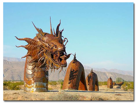
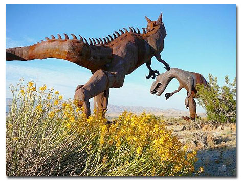
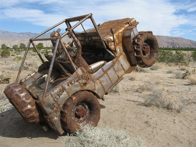
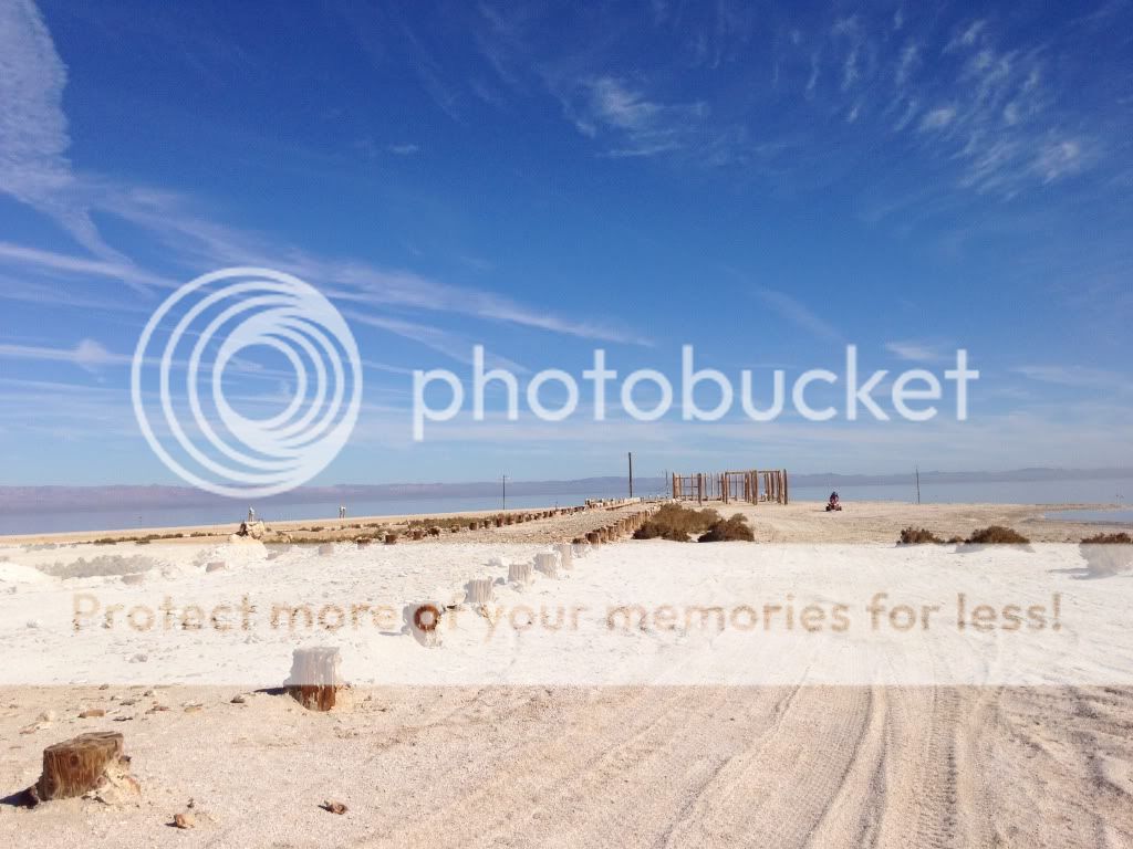
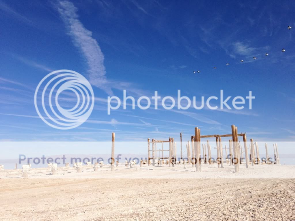
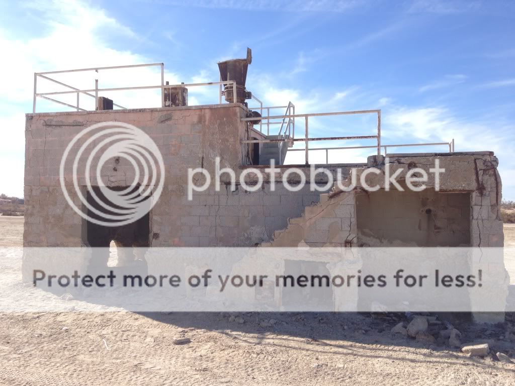
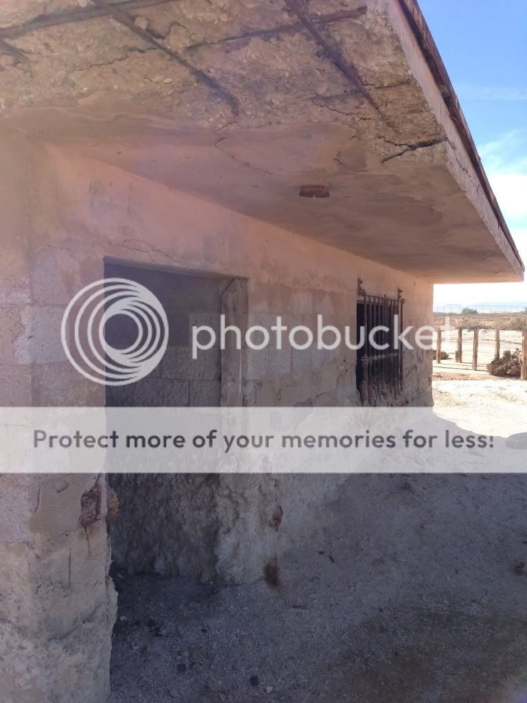
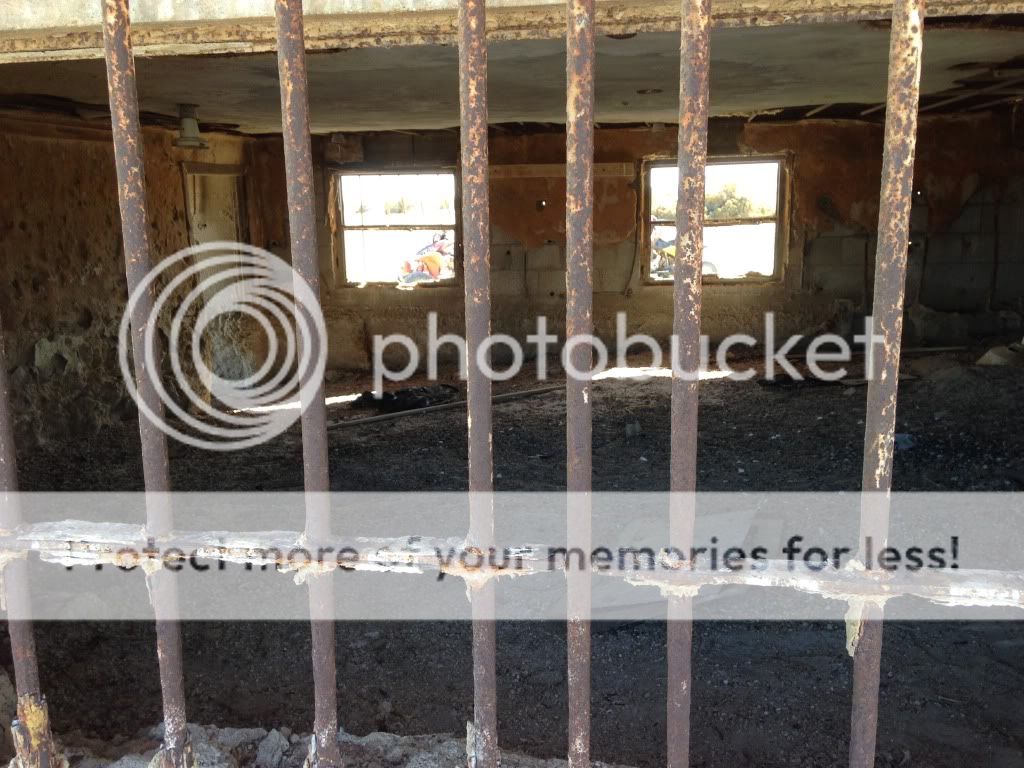
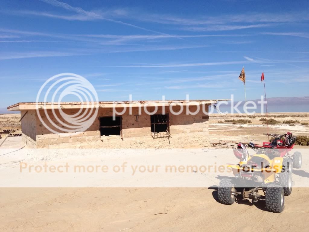
Second, where should we try to ride to while we are out there? We went to a lot of cool places the last time we went, like the pumpkin patch, tether ball, arch, blowsand hill, the gas domes, devils slide, fire hydrant and a few other places. We love having a destination to our rides, so what other points of interest are out here? We are thinking of trying to ride out to a missile test site by the salton sea, and want to head out to superstition mountain. Any other recommendations? Good places to stop for lunch? Cool places in town?

Thanks guys!
-Kevin
 
Happy Valley or Hungry Valley?

Looking at the map, the 210 to 10 looks like the most direct route. But I can't vouch for traffic as I don't drive that area.

Also there's the big fire in Glendora which will probably thrill the hell out of the lookey-loo's and jam up the freeway.:flame:

You can stay on the 5 to the 10.


Dual sport bikes or green sticker?
 
N-S to get over to the I15, you want to go 210-10 to the 15.
 
N-S to get over to the I15, you want to go 210-10 to the 15.

I'd take the 210, but I'd skip the 10 altogether and take:

5 south to
210 east to
57 south to
71 south to
91 east to
15 south to
79 east.

I always take that route when I drive to the bay area. Usually only hit a touch of traffic on the 91.

Be aware, about 20 miles down the 210, you have to exit right to stay on the 210 (near Pasadena), and there are 2 or 3 traffic signals on the 57 but I usually get through them quick.
 
I'd take

5 s
138 e
14 s
Back onto 138 e
To the 15 s
215 s
10 e

But I hate LA so I avoid it at all costs...
 
Thanks for the input guys. We ended up going for the 138 route. Sounds like a good bet, especially with that fire closer to town.

And we're riding green stickered quads. I know our street riding will be limited, but the area seems very lenient about driving in to gas stations and restaurants.
 
I suggest looking at agua caliente campground if you have a tent. Also there is a great Mexican restaurant in Borrego Springs. Its on the east side of the main drag near the center of town. I don't remember the name but it is located in a strip mall.
 
Welp, we finally made it here. Thanks for the help with directions. We chose to follow the route that xtimmax suggested and hit VERY little traffic.

I did a quick google search on the way down and the mud caves sound pretty sweet - I'm hoping we will make it out there. And some good Mexican food sounds amazing as well. As long as we don't have to fight to hold the burrito in on our way back haha. Are there any other good eats around that are worth suggesting?

Also, as suggested, we would like to watch some people beat on their rigs at truck haven so we will likely spend some time there as well.


Additionally, will anybody from NAXJA be out here riding or wheeling this weekend?
 
There's the relocated Motorcycle Mon. S. of S-22 up the N. fork of Arroyo Salado about 2.75 miles hidden out of the wash on the S. side not too far past the Tierra Del Sol Tr.
zuzip.jpg


There's BBQ Man... about a mile E. of the intersection of Cut Across Tr. & Arroyo Salado... up on the S. side of the wash in a low belly...
9uoumd.jpg


There's the Parking Meter... good luck... it took me 2+ years... it's only about 3/4 of a mile S.W. as a crow flies from the M/C monument... on a hill but not real high...
5yyhc6.jpg


Then my personal favorite... The Trailer Park... N. of S-22.. just over a mile N. N.W. of the Phone Booth as a crow flies, a wash or two, just S. of Big Wash... RIGHT ! on the boundary of the OHV Park & Borrego St. Park. behind a low rounded knoll... Please sign the log book if you happen upon the Tr. Park.
eb8vox.jpg


Then there's the Calcite open mine dig (not much of a mine)... the Sheep Tanks... a couple small palm groves 17 & 3 bunch... Fish Cr. & Split Mtn. way to the S... south of Hwy 78... and the mentioned Mud Caves WAAAY to the south...

Should be a perfect weekend... mid. 70s enjoy...

Curt (aka The Mayor)
 
Welp, we finally made it here. Thanks for the help with directions. We chose to follow the route that xtimmax suggested and hit VERY little traffic.

Glad I could help!
 
There's the relocated Motorcycle Mon. S. of S-22 up the N. fork of Arroyo Salado about 2.75 miles hidden out of the wash on the S. side not too far past the Tierra Del Sol Tr.
zuzip.jpg


There's BBQ Man... about a mile E. of the intersection of Cut Across Tr. & Arroyo Salado... up on the S. side of the wash in a low belly...
9uoumd.jpg


There's the Parking Meter... good luck... it took me 2+ years... it's only about 3/4 of a mile S.W. as a crow flies from the M/C monument... on a hill but not real high...
5yyhc6.jpg


Then my personal favorite... The Trailer Park... N. of S-22.. just over a mile N. N.W. of the Phone Booth as a crow flies, a wash or two, just S. of Big Wash... RIGHT ! on the boundary of the OHV Park & Borrego St. Park. behind a low rounded knoll... Please sign the log book if you happen upon the Tr. Park.
eb8vox.jpg


Then there's the Calcite open mine dig (not much of a mine)... the Sheep Tanks... a couple small palm groves 17 & 3 bunch... Fish Cr. & Split Mtn. way to the S... south of Hwy 78... and the mentioned Mud Caves WAAAY to the south...

Should be a perfect weekend... mid. 70s enjoy...

Curt (aka The Mayor)

Where is all this? This seems like a great place to visit.
 
That's right... the sculptures in Borrego... one could probably spent a whole day checking those out... not by OHV though...

Most of the oddities I posted are at the upper end of Ocotillo Wells... N. & S. of S-22... out in the middle of nowhere...
I hear about them or get shown them or help install them... the trailer park was install in my honor several years ago...

You say you found the blue N.C.Y. hydrant ??
Enjoy it sure is a nice day...

Curt
 
One more... it's in the State Park so it's only accessible by foot traffic now... still there as of the 5-27-12 G.Earth image...
bha7ti.jpg


Curt
 
Well, we only managed to cover 68.6 miles today. We started out by trying to make it out to the bomb site at the salton sea. Half of the way there, my shift lever broke (we've had trouble with it before) so I was stuck in 3rd gear, but we still made it out to the site and I thought it was pretty darn cool. There were a few old buildings and the remains of an old dock.

null_zps4407378d.jpg


null_zps8d08faf4.jpg


null_zps6ba08848.jpg


null_zpse9e16779.jpg


null_zps2f3f2990.jpg


null_zps708ea80b.jpg


After we fixed the shifter we went to this Mexican restaurant. Is this the one that was recommended? So delicious.

null_zpsf627298b.jpg


Then we went out to the 4x4 obstacle course and then took crossover road back and meandered our way to the ironwood resort. The sunset was beautiful and despite a valley full of dust, it made for a killer ride home.

null_zps43ba8cfd.jpg


We're not sure what our plans are for tomorrow. We were hoping to ride out to superstition mountain, but at 37 miles each way, we won't be able to make it without a stop for gas. It sounds like there is an event going on out there today and tomorrow... If by any change any of you guys are out there we will gladly buy a few gallons if gas off of you!

If we don't make it out there, then we will try to ride out to some of the destinations you guys posted. They look awesome, thanks for the tips!
 
SO --- was there an event out there ??? I took a drive out to NE Anza-Borrego this past Sunday; but had my GD engine light come on and I had to turn a long day into a very short one. It was acting like it was flooding ? If I get it fixed this week, I am going out again this SAT/SUN.

Randy from Oceanside
 
Back
Top