• Welcome to the new NAXJA Forum! If your password does not work, please use "Forgot your password?" link on the log-in page. Please feel free to reach out to [email protected] if we can provide any assistance.

Southern Utah Wanderings

Day 4 | Tuesday, October 6, 2009 | Starting Odometer: 144260

IMG_9286.jpg

It was a great start to a day. The wind had finally died down overnight and I woke up to a great sunrise over Lake Powell from Alstrom Point. Since it was my mom's birthday and I had full signal up there, I gave her a call to wish her a happy birthday. I took some photos before packing up the Jeep and heading back to Big Water from some more gas.

IMG_9280.jpg


IMG_9289.jpg


IMG_9297.jpg


IMG_9305.jpg


Packing up
IMG_9320.jpg
 
Nipple Butte
IMG_9362.jpg


IMG_9363.jpg


Mushroom Shaped Rock along Nipple Creek
IMG_9370.jpg


After completing the loop, I headed up the long and dusty Smoky Mountain Road over the desolate Kaiparowits Plateau to Escalante. While the scenery along this road was nice....the highlight of the road was the climb up Kelly Grade.

Along the Smoky Mountain Road in the Glen Canyon NRA
IMG_9381.jpg


IMG_9385.jpg


Back into the GSENM
IMG_9386.jpg
 
Further along the Smoky Mountain Road after some high speed driving across the top ;)
IMG_9423.jpg


IMG_9426.jpg


I made it to Escalante for a late lunch at the Golden Loop Cafe to decide where I would head that evening. I ended up deciding to take the Hole in the Rock Road east of town until it got dark and that's where I would setup camp. Along the way I stopped at the Devil's Garden to explore and took a bunch of photos. It reminded me of a smaller Goblin Valley with bigger and more spread out goblins.

IMG_9445.jpg


Metate Arch
IMG_9453.jpg


Mano Arch
IMG_9471.jpg


IMG_9485.jpg


IMG_9495.jpg


Further along I reached Dance Hall Rock as the sun was getting low in the sky. Made for some good photos.

Dance Hall Rock
IMG_9514.jpg
 
IMG_9522.jpg


Long shadows
IMG_9523.jpg


IMG_9528.jpg


IMG_9542.jpg


IMG_9560.jpg


In the end, I actually ended up reaching the Hole in the Rock just after sunset while there was still a little light left. Looks like I would be camping at the end of the trail near Lake Powell again.

Hole in the Rock, just after sunset
IMG_9580.jpg


IMG_9588.jpg


My campsite for the night
IMG_9586.jpg


Ending Odometer: 144445 | Total Miles: 185
 
Day 5 | Wednesday, October 7, 2009 | Starting Odometer: 144445

IMG_0014.jpg


Since it was getting dark pretty quickly when I arrived at the Hole in the Rock the evening before, I didn't really get any good photos. When I woke up today, I grabbed my camera and started shooting away :) I was up before sunrise and hung out for a little while until the sun was up in the sky...well, actually behind some clouds.

Storm rolling through in the distance
IMG_9589.jpg


Sun coming up behind some clouds over the Hole in the Rock
IMG_9628_29_30.jpg


IMG_9637_8_9.jpg


After taking a bunch of photos I was back on my way back to Escalante.

These markers marked the actual Mormon (Hole in the Rock) Trail. There was a rainbow in the distance when I shot this one.
IMG_9655.jpg


IMG_9674.jpg


IMG_9688.jpg


Old wagon tracks carved into the slickrock
IMG_9702.jpg
 
I stopped at this water carved wash for some more photos
IMG_9712.jpg


Still a bit away from Escalante
IMG_9739.jpg


IMG_9744.jpg


I was originally planning on heading back the way I came, but when I reached the turnoff for Left Hand Collet, I decided to give it a try. When I was at the Visitor's Center a few days earlier, I had inquired about the condition of Left Hand Collet (it is known to wash out frequently) and was informed by the ranger that it was washed out and impassible. I don't always take the ranger's word on road conditions, since it appears to me that their main goal is to keep as many people off of the difficult roads as possible (Though, I can fully understand why they would do that, too). I knew full well there might be a chance I would not make it through and would have to turn around and come back the same way, but that was a chance I was willing to take.

IMG_9752.jpg


IMG_9754.jpg


IMG_9764.jpg


IMG_9773.jpg


IMG_9785.jpg
 
IMG_9794.jpg


It turns out that even though there were signs at both ends of Left Hand Collet warning that it is currently impassible, I found out that it is just not the case. While I certainly would not take a stock SUV through this trail because it is a bit rough, any Jeep or modified SUV would have no problems with it. I never even needed to put my Jeep in 4WD to get through it. I'm glad I ended up trying this route, because the scenery was great. I evenutally found myself back at the Smoky Mountain Road again, and continued on to Escalante again.

Yeah right....
IMG_9796.jpg


When i finally reached Escalante, I continued north until I was in Boulder again where I stopped at the Burr Trail Grill for lunch. The burger I had there was outstanding, and I would highly recommend it. The Burr Trail Grill is located on the corner of UT 12 and the Burr Trail, which was my next road to follow. Even though this road was paved much of the way, the scenery along the way was pretty nice as well...especially the stretch through Long Canyon.

IMG_9803.jpg


To get off the pavement for a while, I took the Wolverine Loop trail. This was a quick and easy loop.

IMG_9806.jpg


IMG_9809.jpg


IMG_9819.jpg


When I reached the Wolverine hiking trail, I took a break from the Jeep and hiked a ways into the wilderness to check out an old petrified forest. There were also some narrows nearby that I want to head back an explore with Amanda sometime.

Large piece of petrified wood
IMG_9827.jpg


IMG_9830.jpg
 
Soon I was back the the Burr Trail which finally entered Capitol Reef National Park where it turned to gravel.

Views of the Henry Mountains and Waterpocket Fold as I entered Capitol Reef National Park again.
IMG_9835p.jpg


Another of the highlights of this entire trip was the short spur trail that lead into Upper Muley Canyon. Not only was it a very cool canyon, there were also a number of arches along the way, and the hike to the Strike Valley Overlook at the end gave me great views of the Waterpocket Fold. I took a bunch of photos along this short 3 mile trail....

IMG_9844.jpg


Plenty of views of Peekaboo Arch as you enter Upper Muley Twist
IMG_9855.jpg


IMG_9862.jpg


IMG_9867.jpg


IMG_9879.jpg


IMG_9881.jpg


Double Arch
IMG_9898.jpg
 
Cherrios Double Arch
IMG_9912.jpg


View of the Waterpocket Fold from the Strike Valley Overlook
IMG_9954.jpg


IMG_9969.jpg


IMG_9983.jpg


Back on the Burr Trail I quickly descended the switchbacks (the actual Burr Trail) and finished up by following the trail to Bullfrog. I headed north on 279 to 95 again and made my way to Hanksville, where I would spend the night at the campground and finally get a real shower ;)

Burr trail switchbacks (hard to see as this side of monocline was already in the shade)
IMG_0010.jpg


IMG_0013.jpg


IMG_0020.jpg


Ending odometer reading: 144703 | Total Miles: 258
 
Day 6 | Thursday, October 8, 2009 | Starting Odometer: 144703

IMG_0033.jpg

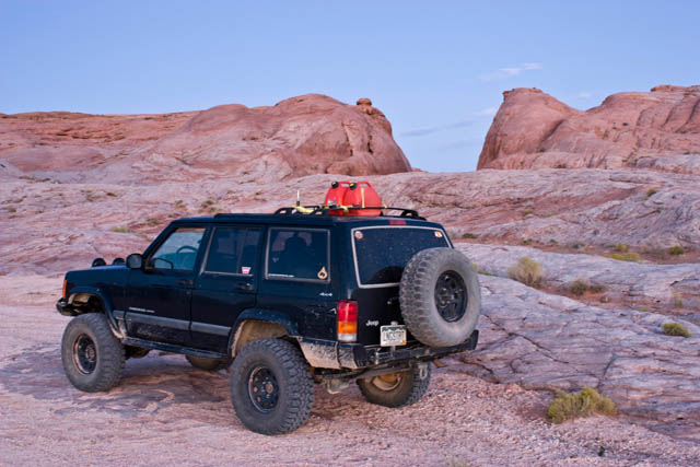
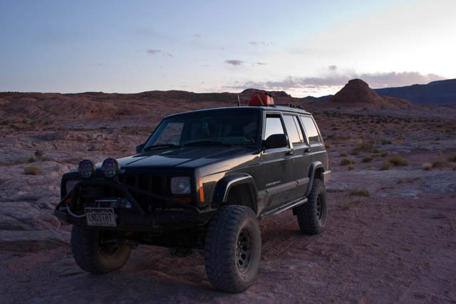
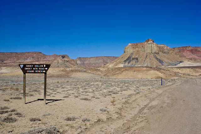
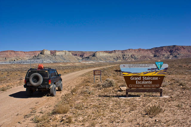
This was an indecisive day for me. My original plan was to head back to Bullfrog and take the ferry across Lake Powell. However, I did not feel like going that far out of my way, and I also knew Amanda would probably like to join me for a ferry trip sometime in the future, so I decided to skip it. That left me with a big empty gap in my day. What would I do? I had always wanted to check out the Flint Trail and the Maze District of Canyonlands National Park, and I wasn't that far from there.... So it was decided, I would take the Hans Flat Road to the ranger station and then descend the Flint Trail and make my way to Hite. This would give me a good overview of the Maze area so I could plan a future trip there with Amanda.

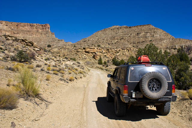
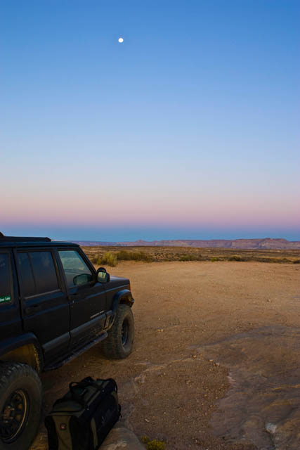
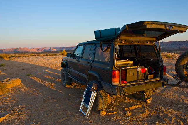
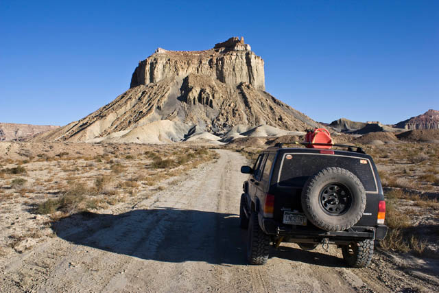
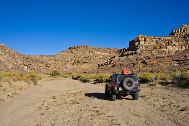
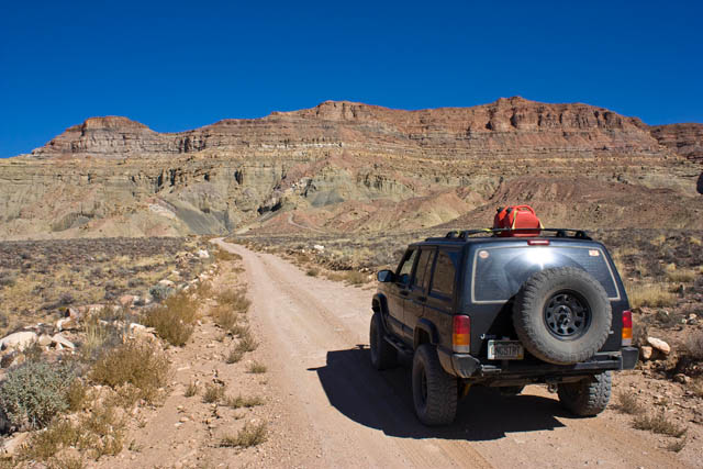
I was on the road before sunrise, as the distance between UT24 and Hite via the backroads was 107 miles and I had heard it was a rough ride that would take all day. After filling up at the Hollow Mountain Gas Station in Hanksville, I headed north and turned off on the Hans Flat Road just short of the Goblin Valley turnoff. This was a wide gravel road that was fun to drive on at some higher speeds. I was at the Hans Flat Ranger station in just under 1.5 hours.....about 42 miles of dirt roads. I was making great time so far. I stopped at the ranger station and had a nice chat with the ranger to gather some information to help me plan a future trip (hopefully in the spring) to the area.
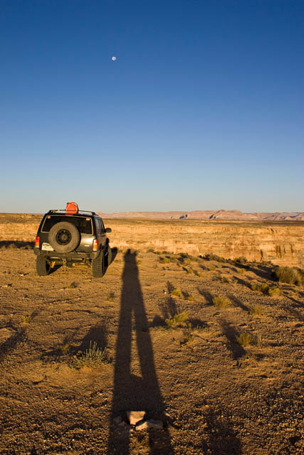
Long way to Hite
IMG_0030.jpg


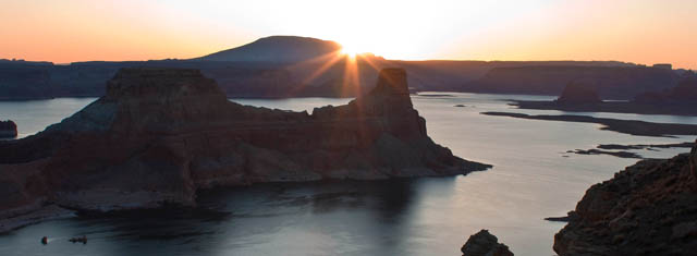
Sun coming up over Little Flat Top
IMG_0032.jpg


IMG_0034.jpg


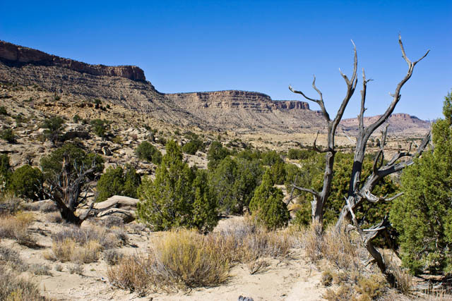
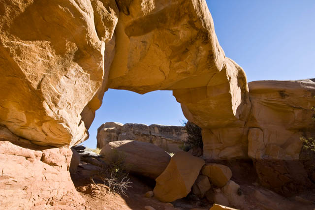
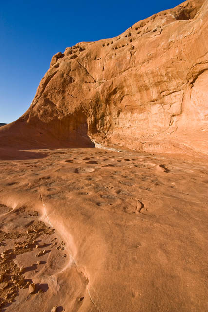
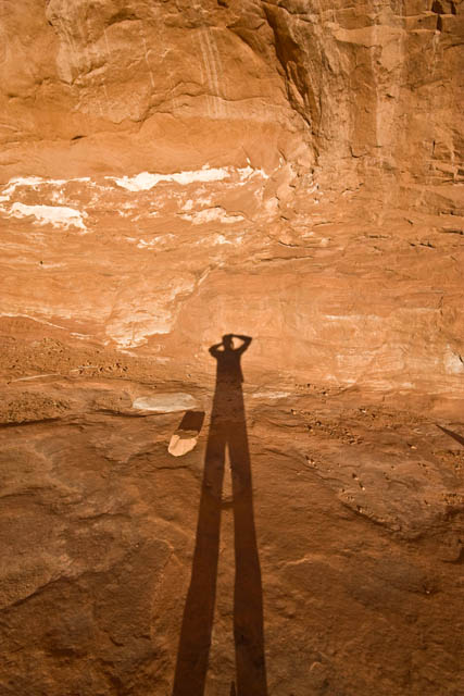
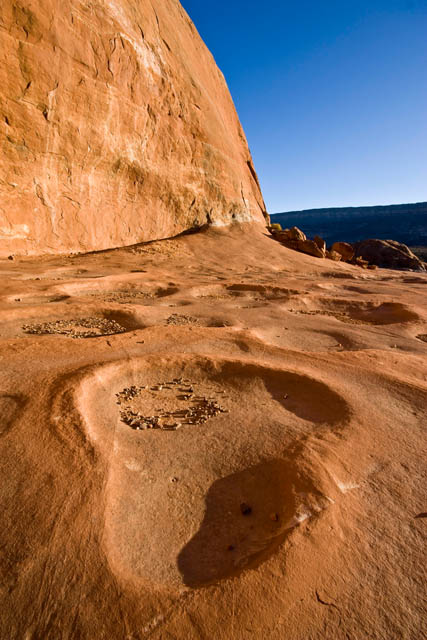
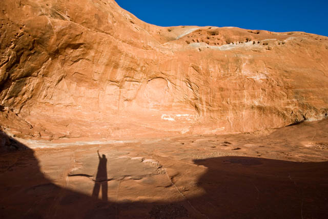
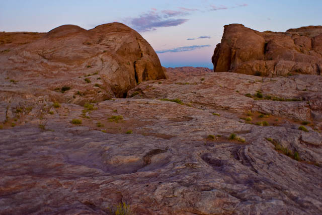
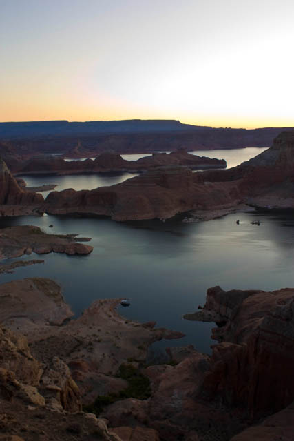
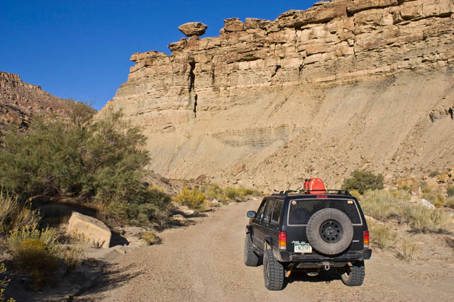
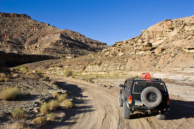
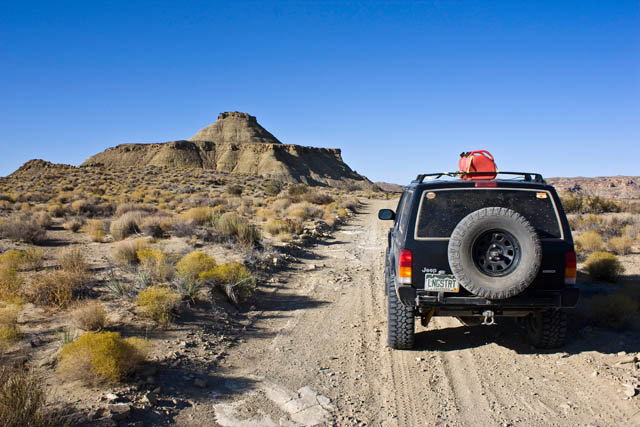
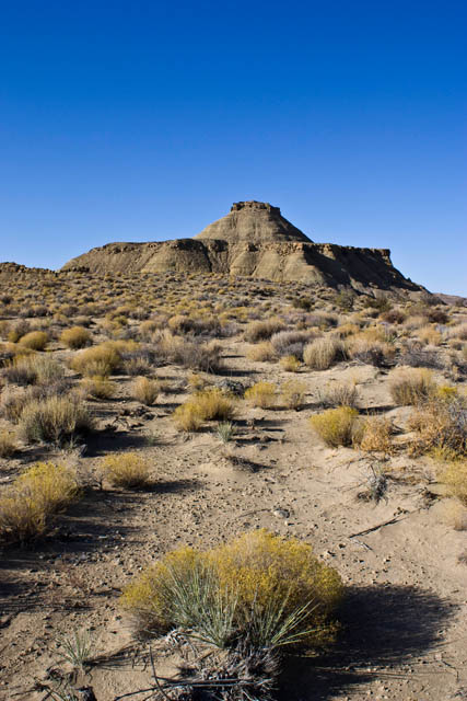
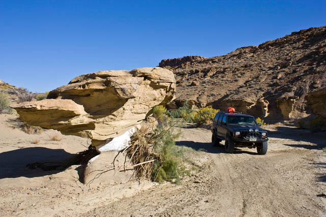
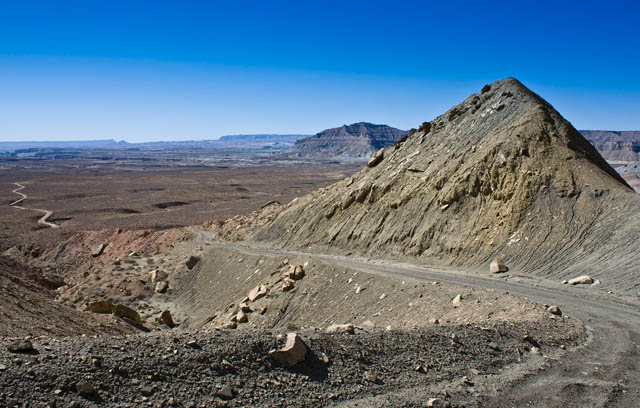
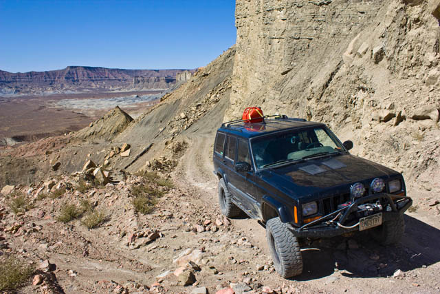
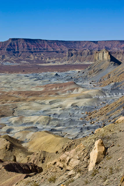
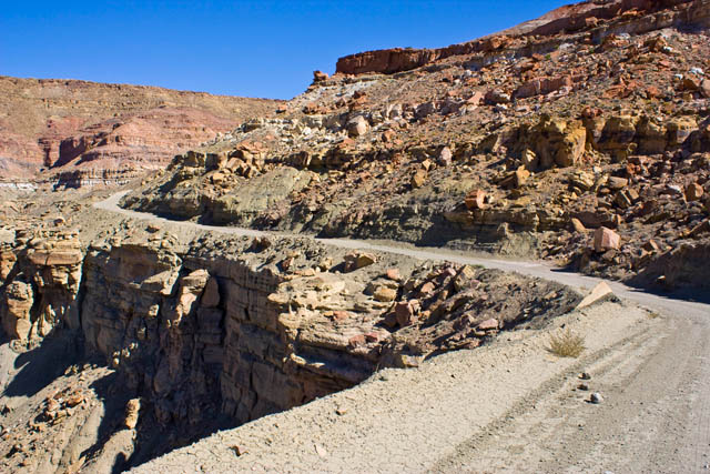
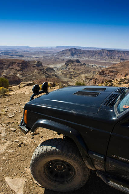
After leaving the ranger station, I travelled across the top of the Orange Cliffs on my way to the Flint Trail switchbacks. I made my way down the switchbacks, where I found their steepness and narrowness had been greatly exaderated, and continued on the long dirt roads towards Hite. There was some great scenery along this trail.
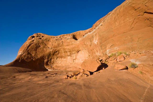
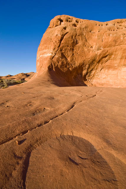
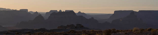
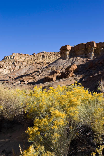
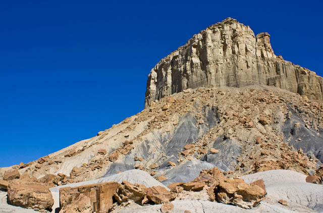
Orange Cliffs
IMG_0037.jpg
 
Cool thin wall between Rock Canyon and Andy Miller Flats
IMG_0105.jpg


IMG_0115.jpg


When I reached Hite, I stopped to fuel up before continuing east on UT95. It was getting close to lunchtime and I wanted to find a spot along Lake Powell to stop for lunch. Luckliy I passed the turnoff for Blue Notch Canyon which would take me to the shore of Lake Powell for lunch. Blue Notch Canyon also offfered some nice scenery along the way, too.

IMG_0125.jpg


IMG_0128.jpg


Lake Powell visible in the distance....looks a lot closer than it is....
IMG_0131.jpg


I liked the way the clouds looked here
IMG_0135.jpg


Getting closer...
IMG_0137.jpg
 
...and I'm there!
IMG_0139.jpg


IMG_0140.jpg


After lunch I headed back to the highway and headed east again. I turned off at the entrance to Natural Bridges National Monument, but that wasn't my destination this time. I would follow a gravel road through the Bears Ears and onto South Elk Ridge which would take me to Blanding off of the pavement.

Castle Butte
IMG_0150.jpg


IMG_0160.jpg


IMG_0168.jpg


By the time I reached Blanding I was was hungry and tired again. I was planning on heading back to my favorite campsite in Comb Wash for the night, but I was not feeling like camping at that point, so I ended up getting a hotel room for the night in town.

Ending odometer reading: 144942 | Total Miles: 239
 
Day 7 | Friday, October 9, 2009 | Starting Odometer: 144942

IMG_0178.jpg


This wasn't intended to be the final day of my trip, but that's the way it ended. By the end of the day I was tired and wanted to just relax for the final weekend of my vacation. I had entertained the thought of getting a hotel room in Moab and having Amanda join me, but since I was so close to home and didn't want to spend the money on a hotel room for the weekend, I decided it would be best to just head home for the weekend.

I started out this morning be heading up Cottonwood Wash into the Abajo Mountains (Blue Mountains). After a short jaunt on the Blue Mountains Road and over to Cottonwood Canyon Road. I was going to head down into Beef Basin this morning, which was a trip I had originally planned for in the spring that was rained out for me. I had a good time exploring the ruins in Beef Basin and Ruin Park. There were a number of side trails and spurs that I did not take, as I would like to spend a lot more time in Beef Basin with Amanda in the future so we can thouroughly explore the area. Sounds like a good spring weekend trip, as long as it doesn't get rained out again ;)

IMG_0179.jpg


Headed down into Beef Basin
IMG_0180.jpg


IMG_0188.jpg


Orange Cliffs and the Henry Mountains in the distance....it felt like I was by them the day before....
IMG_0194.jpg


The first ruins I came across in Ruin Park
IMG_0197.jpg


The moon above
IMG_0199.jpg
 
After leaving Beef Basin I was back on the Cottonwood Canyon Road again. There was a fire on the mesa ahead of me that I got to watch throughout the rest of the day.

IMG_0314.jpg


IMG_0317.jpg


I followed a bumpy but short road to an overlook of the Big Pocket from Cathedral Point.

IMG_0319.jpg


Next I finished up the Cottonwood Canyon Road and was back at UT 211.

Closer to the fire
IMG_0337.jpg


IMG_0339.jpg


IMG_0343.jpg


My original plan was to fuel up at the Needles Outpost and head up Lockhart Basin on my way to Moab. When I reached the gas pump at Needles Outpost, I was suprised to find that gas was $5 per gallon. I was not about to pay that much for fuel, and it was at this point I decided I would not be heading up Lockhart Basin this trip.

IMG_0344.jpg
 
Since my plans had changed, it was time to finally checkout the Colorado River Overlook trail within Canyonlands that had always seemed to be closed due to weather every time I had tried before. Lucky for me it was open today. This trail started out as a fun sandy two track but got bumpier the closer I got to the overlook at the end.

IMG_0345.jpg


IMG_0349.jpg


IMG_0352.jpg


View from the overlook
IMG_0361.jpg


After hiking out to the overlook at the end of the trail, I started my way back. I had noticed there was an intersection on my way out to the overlook and consulted my map. It appeared this road would take me back to the highway just outside of Canyonlands boundary, so I decided to give it a try. It was a fun sandy two-track much of the way back. By the time I reached the highway again, I knew I was ready to head home for a nice relaxing weekend.

IMG_0375.jpg


IMG_0378.jpg


IMG_0385.jpg


I hopped on US 191, headed through Moab without even stopping (unusual for me) and took the scenic UT 128 back to the interstate. I was home by 7pm and had had a great trip this last week. Amanda was surprised and happy when I walked through the door two days early :) We had a nice relaxing weekend at home before I had to go back to work on Monday.

Ending Odometer: 145280 | Total Miles: 338
 
Back
Top