zluster
NAXJA Forum User
- Location
- Colorado Baby!
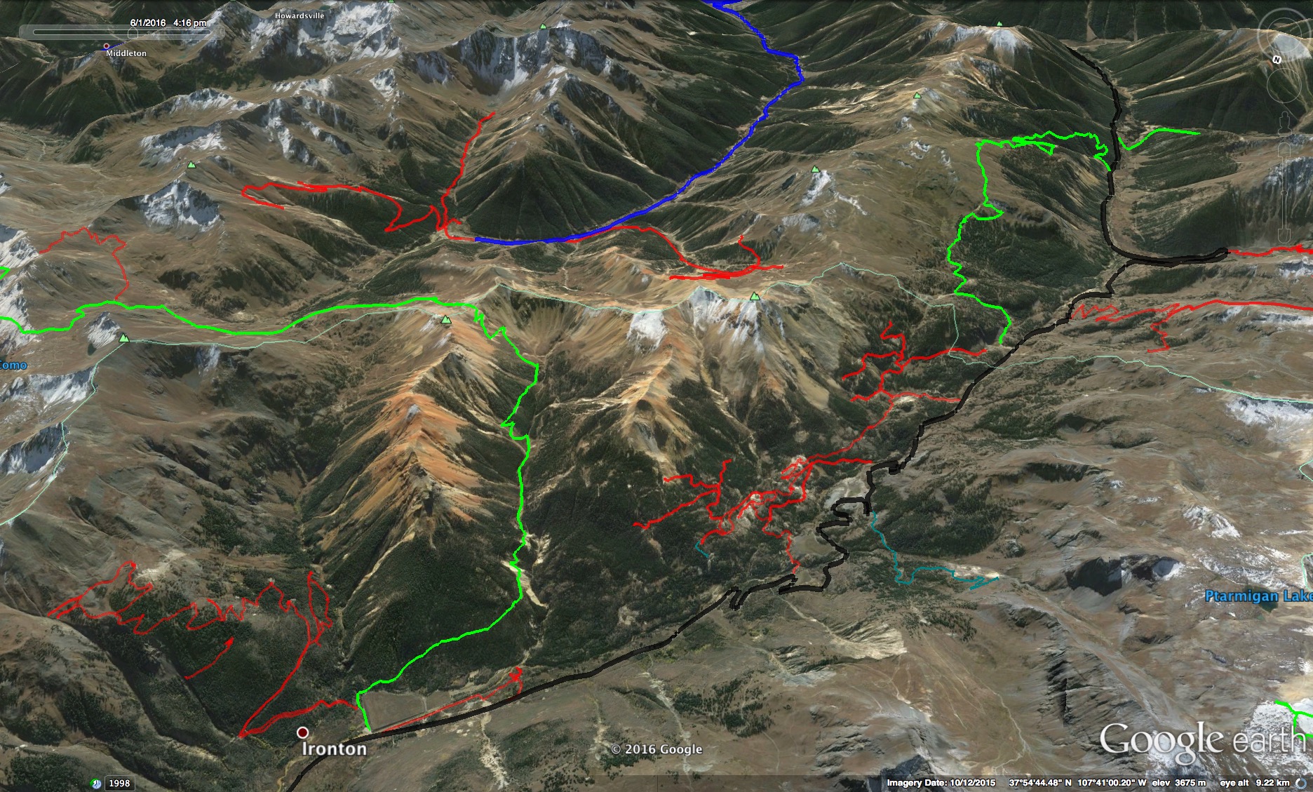
https://youtu.be/-bYnWxPNJjk
I'm still learning, I don't know chit about video editing, and I'm learning what works and what doesn't when taking video. I think I got an idea of what makes cool shots now. Glad I got the chance to do this now so I can refine it for the next trip.
I'm still learning, I don't know chit about video editing, and I'm learning what works and what doesn't when taking video. I think I got an idea of what makes cool shots now. Glad I got the chance to do this now so I can refine it for the next trip.