• Welcome to the new NAXJA Forum! If your password does not work, please use "Forgot your password?" link on the log-in page. Please feel free to reach out to [email protected] if we can provide any assistance.

San Rafael Swell Oct 8-11

DrMoab

NAXJA Forum User
San Rafael Swell
Oct 8-11th 2009​

1 hour after departure...
Springville Utah.
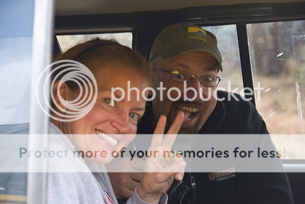
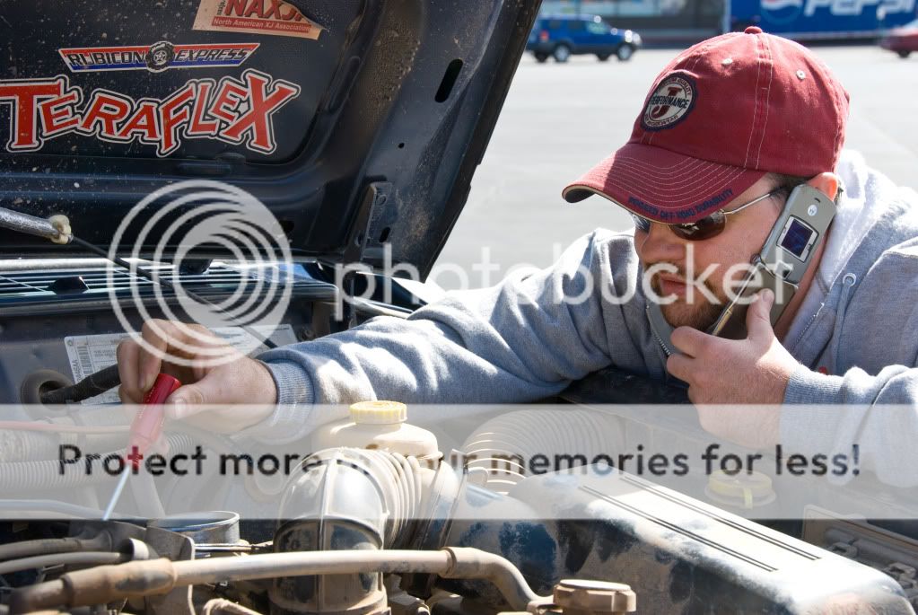
XJBANKER "Hey Ryan, My Jeep is shifting funny"

And so begins the adventure.
DSC_4150.jpg


Not too long after this comment we were heading over soldier summit on US-6 amongst the fall maple leaves and cool October weather when XJBanker's jeep decided to go into full "I'm going to be a pain in your rear end" mode. As Mrs Moab and I were following him he quickly pulled off at the view area for the mudslide that covered the town of Thistle.
DSC_4154.jpg


The Jeep was cutting out and acting like there wasn't a throttle cable at all. We sit there for a few minutes while it coughed and sputtered. At last it finally cleared out and we decided to keep going. So we hooked his Conqueror Compact to Nanette's Jeep and off we went. We didn't get two miles when it happened again. So we pulled off the road, messed around with it for awhile and watched several NAXJA members heading to fall fling just pass us by(Thanks guys...you know who you are).

After spending several minutes on the phone with several mechanically inclined friends and a couple of Jeep mechanics we came to the conclusion it was either the map sensor, TPS, fuel pump or possibly the CPS. Since Steve had just replaced the fuel pump less than a week before and had not thoroughly tested it out I was putting my money on the fuel pump.

Lucky for him, my dad was coming down later that evening and MattVW65 happened to have a fuel tank complete with pump just sitting around so we decided to nurse it to camp.

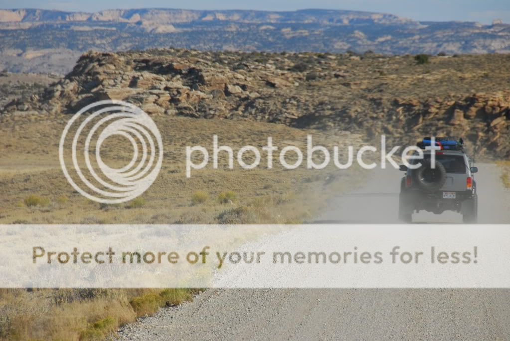
As we got into Castle Dale the jeep just kept running worse and worse. The symptoms were so strange. It would be running strong and then it was if you just cut the throttle cable. It would cut back to idle but wouldn't die. When you hit the gas it would just do nothing. This got us thinking that maybe in fact it wasn't the fuel pump but a TPS or Map sensor. So we pulled over in the grocery store in Castle Dale and swapped the whole throttle body with my Jeep. This didn't work either.
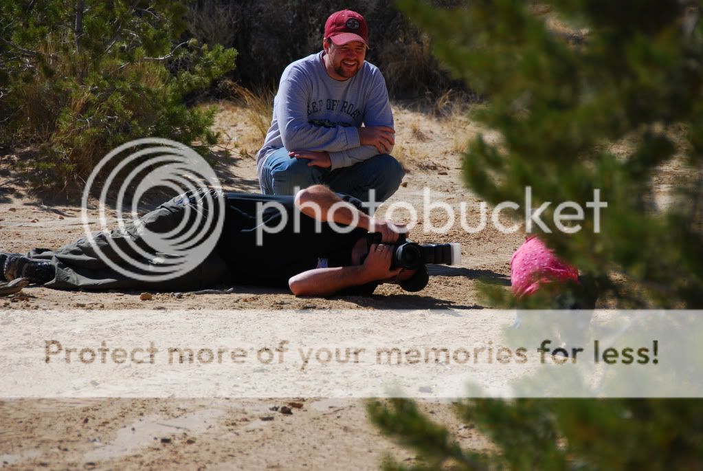
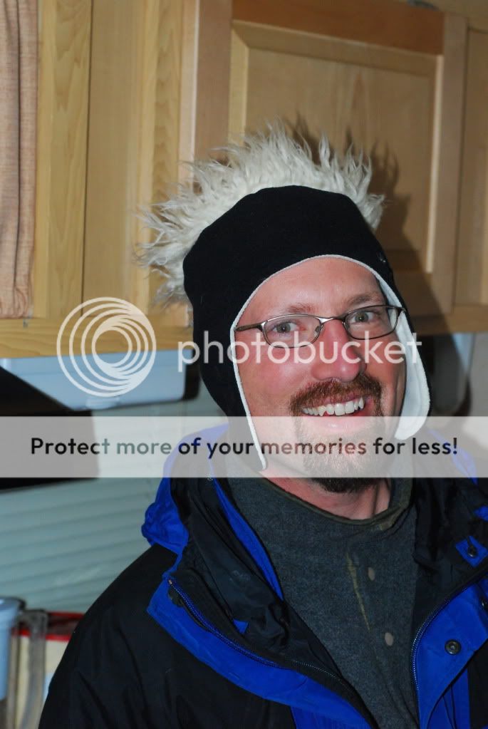
XJBanker on the phone with mechanics.
Steveonthephone.jpg


So, since we were less than 20 miles from camp at this time we just drove on in.
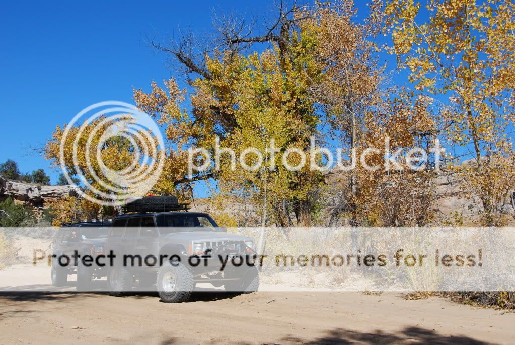
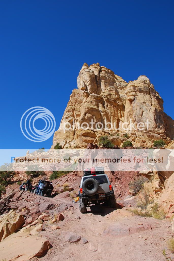
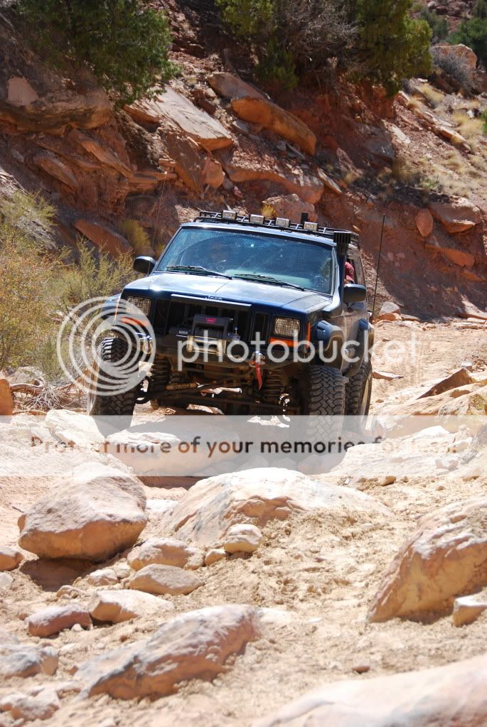
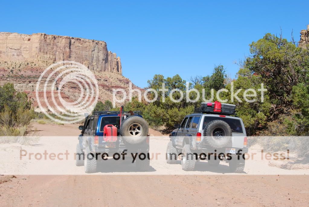
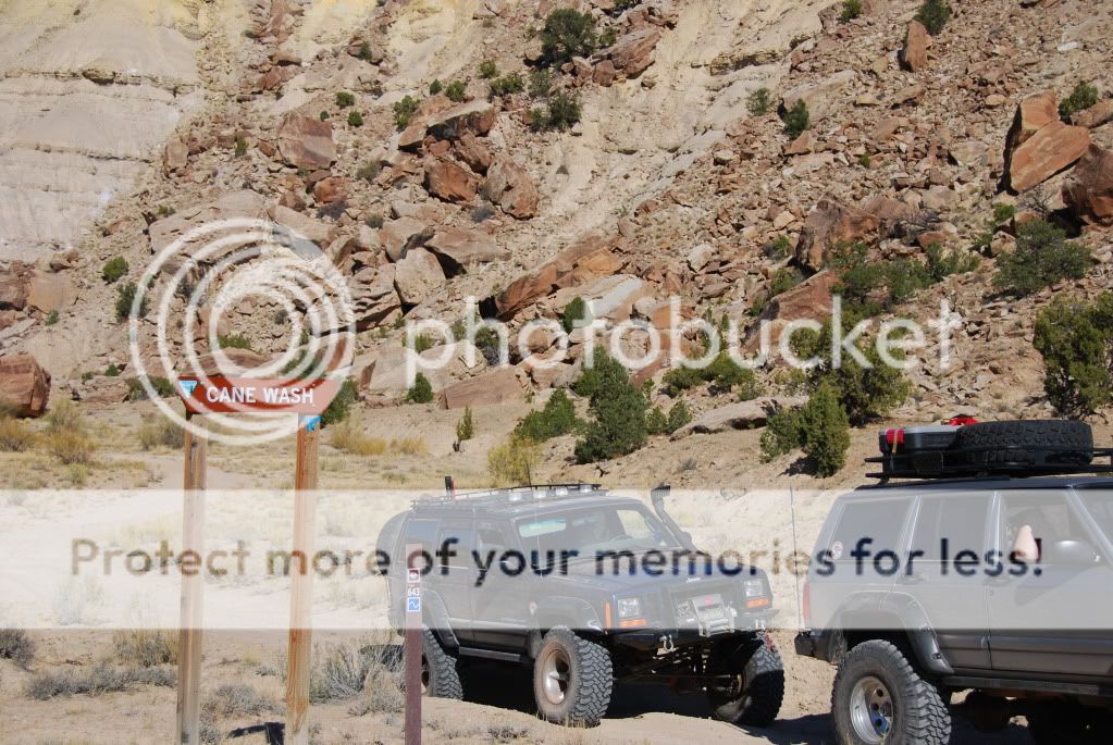
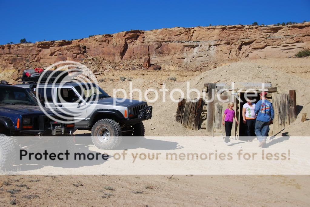
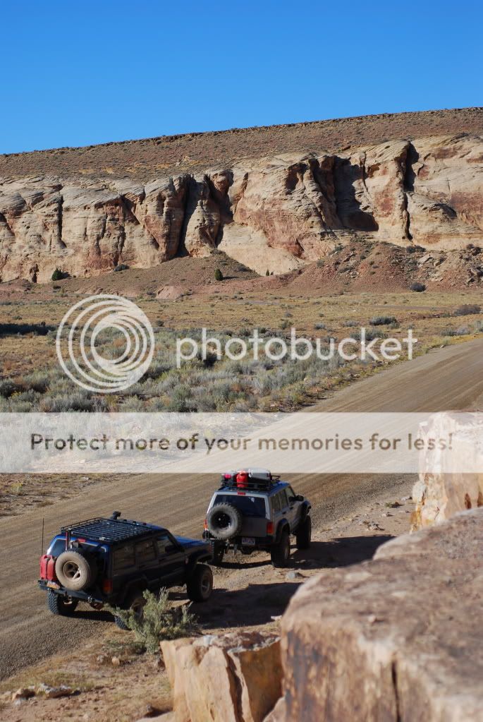
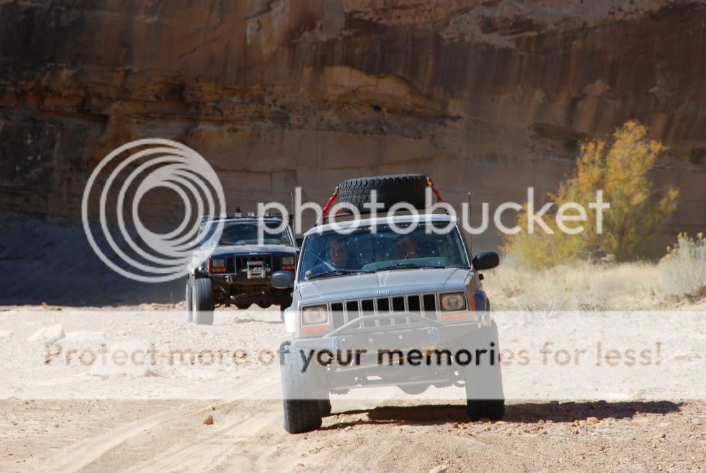
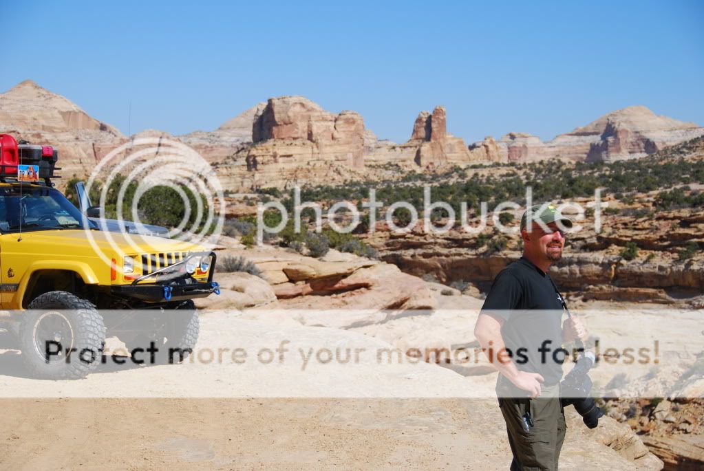
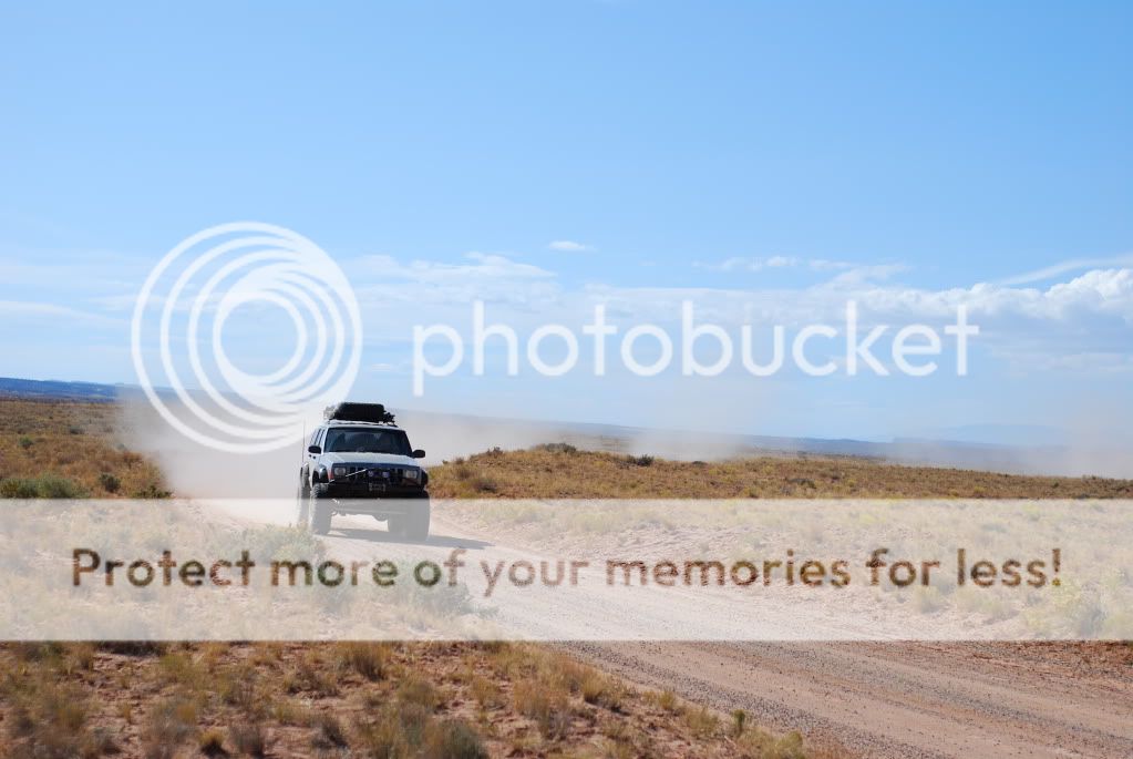
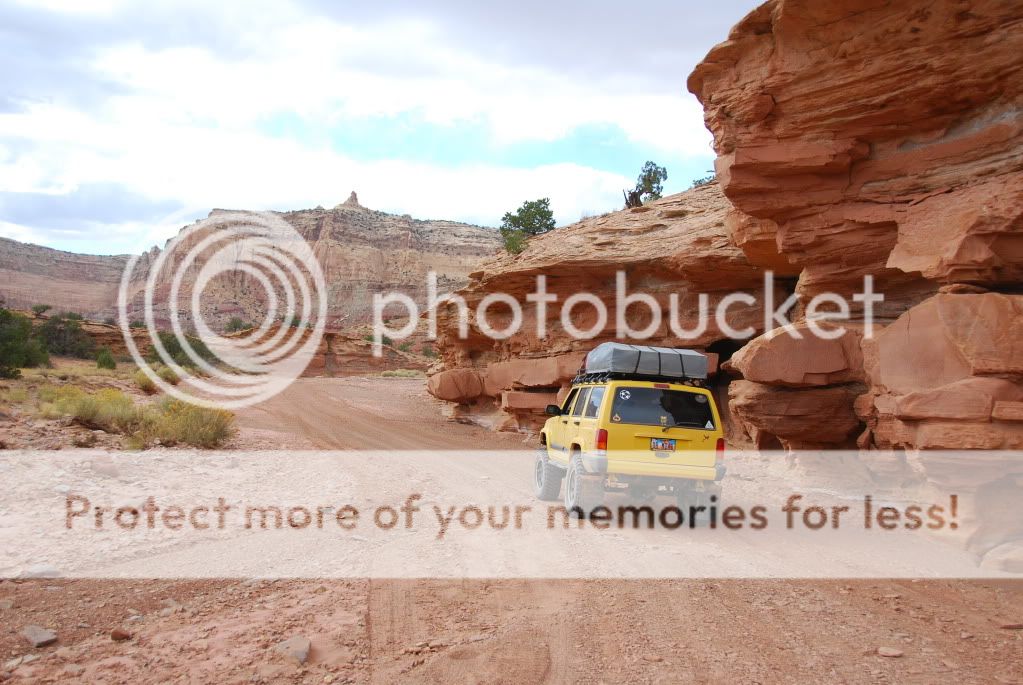
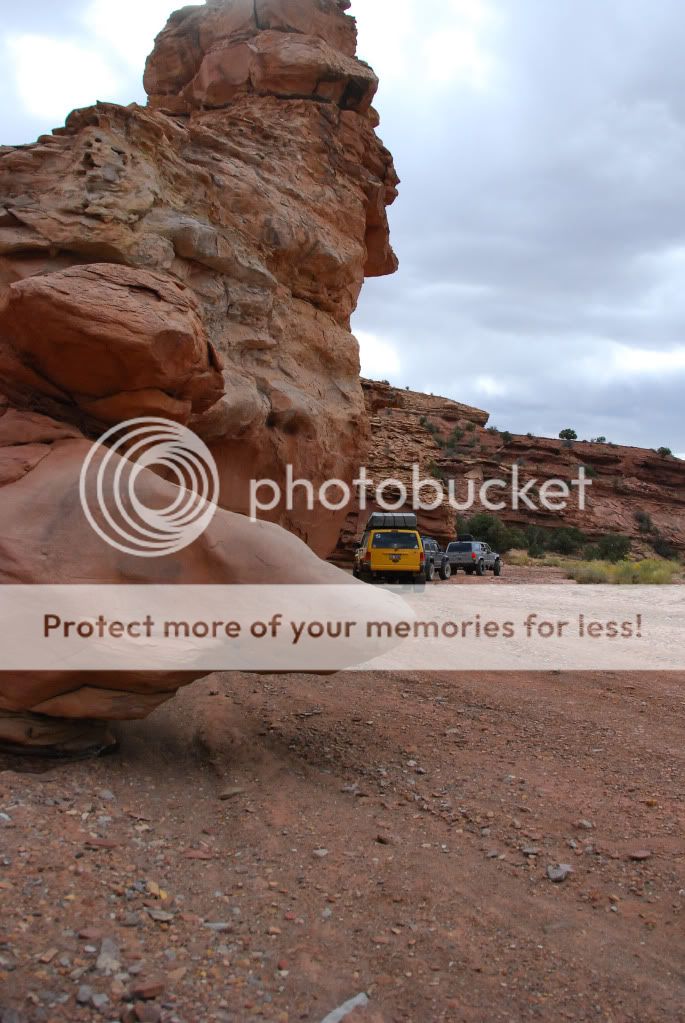
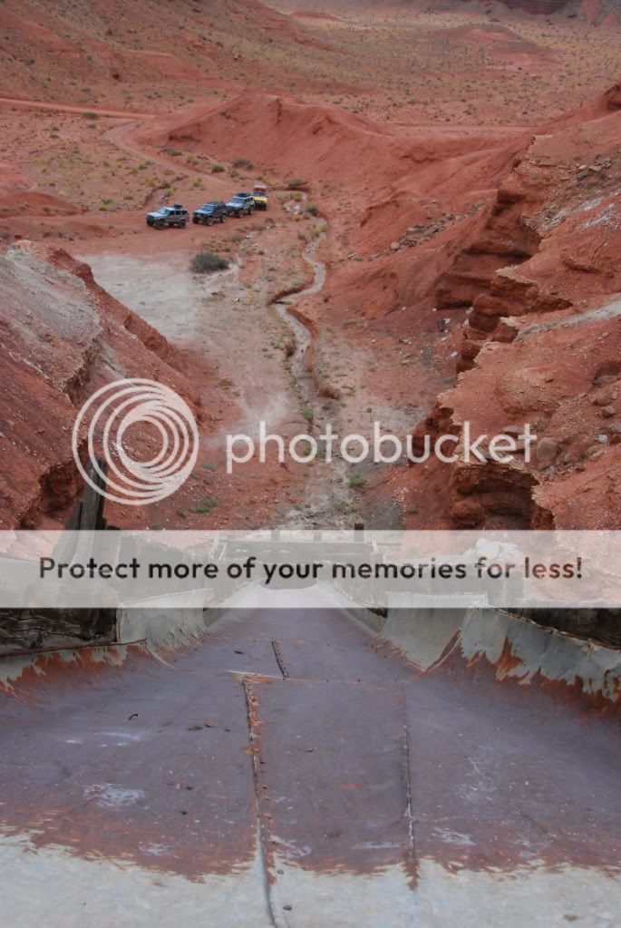
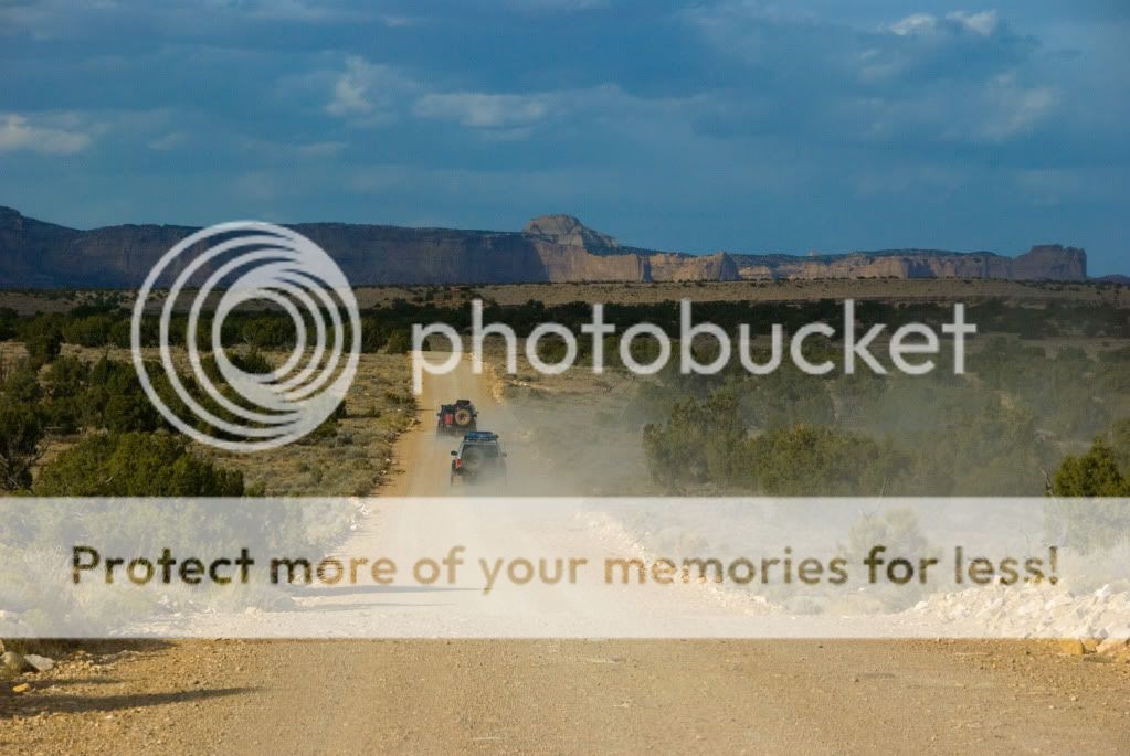
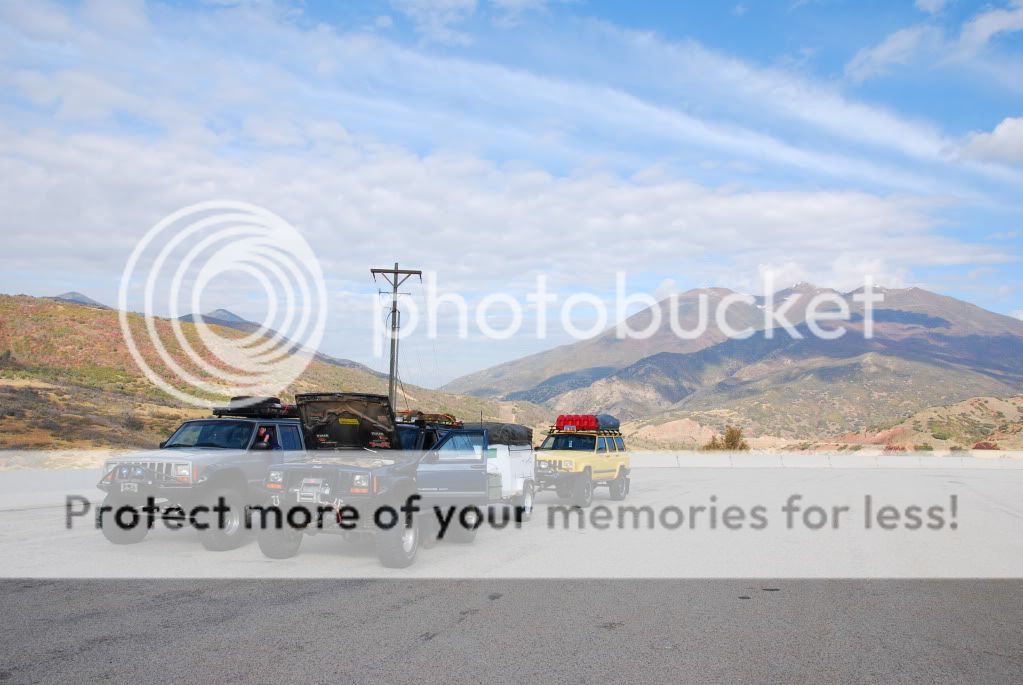
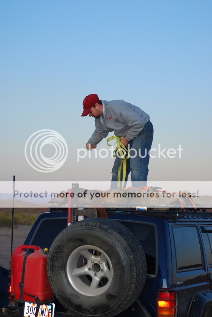
Heading towards the Swell and camp
DSC_4160.jpg


On the last big hill his Jeep decided to die altogether. We thought we were going to have to strap him in but it gave a last gasp of energy and drove in on it's own power.

Steve decided to remove the tank while we waited for my dad to show up with the new tank. He had it out in less than ten minutes.

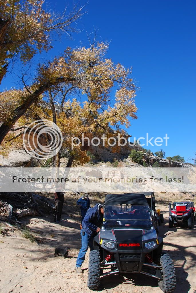
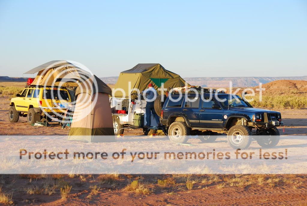
While he was doing this we set up camp.
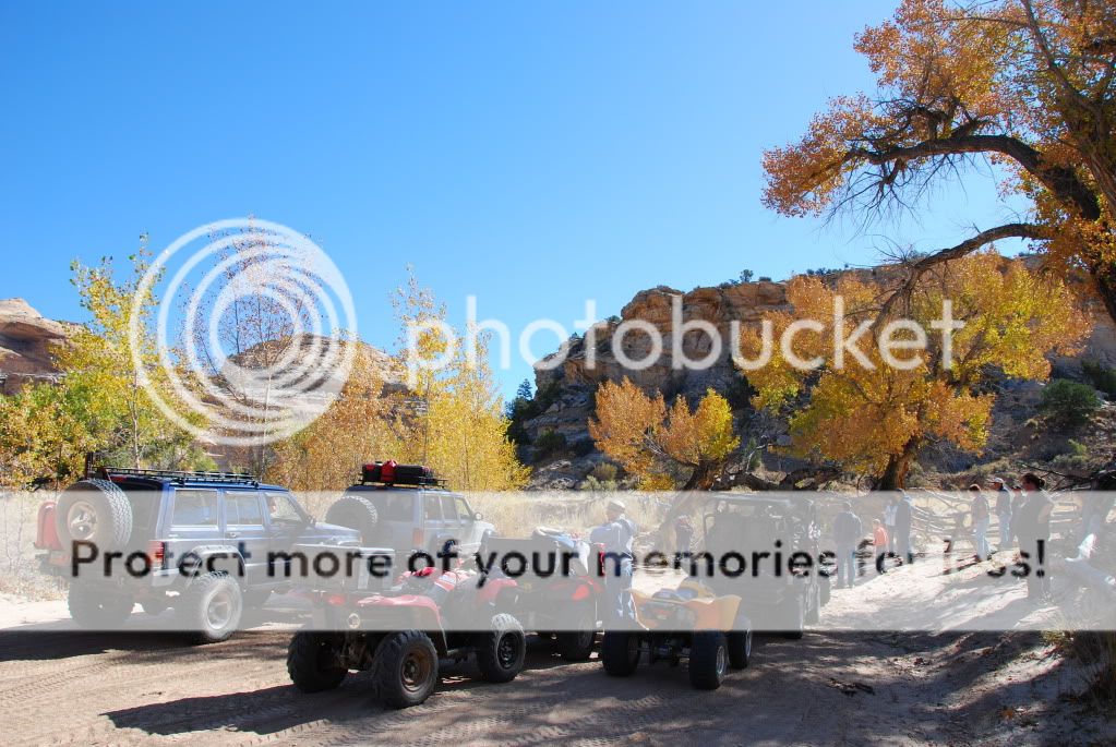
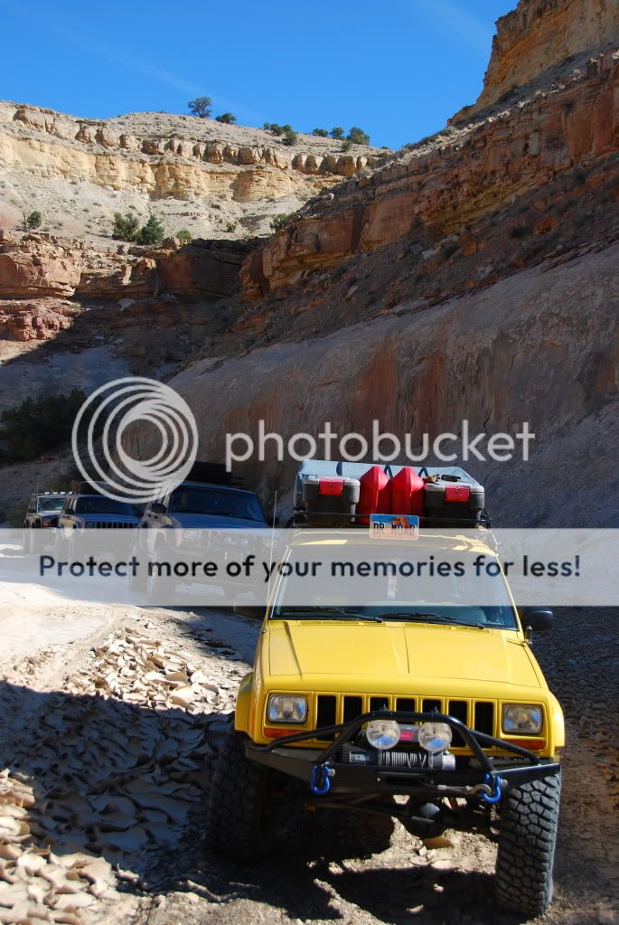
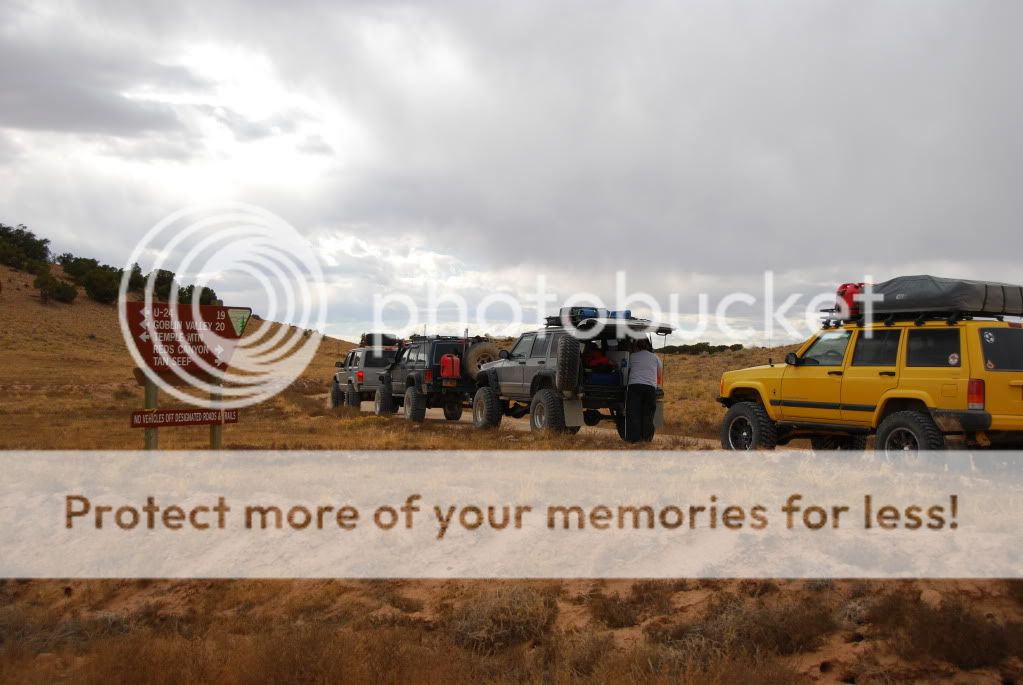
Camp on the flats.
DSC_4164.jpg


Steve throwing wood
DSC_4176.jpg


Just after Dusk
Sunsetincamp.jpg
 
Oct 9 2009

XJBanker had his new tank installed again in less than ten minutes the night before and we were ready to rock. A large part of my family arrived and it was decided that we would hit North Coal Wash, Fix it pass and Cane Wash.

Most of my family are ATV types so we knew they wouldn't hang with us all day.

A few miles up Coal wash we stopped for lunch under the cottonwood trees. They were just coming out in fall colors and along with the sandstone looked so pretty.

Lunch spot.
DSC_4215.jpg


I am not a huge ATV guy. I like being enclosed and having luxuries such as heat and AC(when it works) That being said, my brother showed up in a Baja RZR and I have to say, it was one of the funnest ways I have ever traveled down a desert wash.

Brothers RZR
DSC_4216.jpg


We couldn't get over how pretty those old cottonwood trees were.
Tree
coalwash5.jpg


While I was standing there I had to get a shot of the moon.
themoon.jpg


Another shot of the whole group
coalwash4.jpg


After that stop we headed up the canyon to Slipper Arch which is just before Fix it pass.
Mrs Moab's XJ in front of the arch
slipperarch.jpg
 
Fix it Pass and Cane Wash
I had never been up Fix it pass before and after being told by all my family(all ATV people) that it was impossible to navigate it in a Jeep, I laughed when we finally got there. Sure, it was a challenge for the ATV's. Big rocks, off camber sections and steep climbs gave them a hard time. For the Jeeps it was a walk in the park though.

Mrs Moab on Fix it Pass.
FixitPass2.jpg


XJBanker
FixitPass1.jpg


At the top of the pass my family had decided they had enough and turned around to head back to camp. Steve and I decided to head over the top and down Cane Wash. This was another route I had not been on before so it was kind of cool for me. The views were spectacular.

Heading down Cane Wash
KaneWash.jpg


I was somewhat disappointed to find the canyon blocked by the Sids Mountain WSA right when it was getting the most interesting. The route took us out of the canyon heading east toward the Buckhorn wash road.

The Cane Wash sign
DSC_4247.jpg


Along the way we found this bunker. I have no idea what it was for. The only thing in it was old beer and wine boxes.
DSC_4249.jpg


Right before we hit the Buckhorn wash road we came across and old mine. Lots of old Junk sitting around plus an old Lincoln and a wonderful old International truck.

The truck.
OldTruck.jpg
 
Buckhorn petroglyphs and the Dinosaur print.

XJBanker had never been in this part of the country before so we couldn't go on without stopping at the petroglyphs and the Dino foot print.

These petroglyphs and pictographs came from two separate time periods.
The Fremont Indians and the much older Barrier peoples.
Read more here

One of the panels
DSC_4279.jpg


A nice looking weed in the parking lot.
DSC_4277.jpg


While we were sitting there Steve's daughter decided to give me a wonderful photo opp.
Princess.jpg


We packed up and headed up the road a little ways to a dino foot print someone told me about several years ago. This isn't marked and the first time I went there it was covered by a big rock to keep it protected. Over the years the trail has become more obvious and the print is now surrounded by cairns to let you know exactly where it's at.

Steve's kid used for scale.
DSC_4301.jpg


Buckhorn draw road at the dino print
DSC_4303.jpg


It was getting late in the evening and we were all tired and hungry. We were going to stop at the Wedge overlook but decided to bag that and head strait for camp through Fullers bottom.

Steve crossing the San Rafael river in Fullers bottom
FullerBottom.jpg
 
Oct 10th
Pat and Cindy Bonish(www.everymilesamemory.com) showed up the night before and sitting around the camp fire we decided to take them up South Coal wash and over Eva Conover. Neither one of them have ever been to the area and I decided that it was as good a place as any to show the Swell off to new peoples.

Stopping at a natural spring along the way.
DSC_4318.jpg


Cindy doing what she does so well.
Cindy.jpg


Clint and Steve in Coal Wash
clint1.jpg


All lined up for Pat and a photo op.
coalwash1.jpg


The mirror shot.
coalwash2.jpg


Soon it was time to climb out of the canyon and over the Eva Conover part of the trail. I still have no idea why it's called Eva Conover.

Parked on the rim of South Coal wash.
cliff.jpg


Pat Bonish enjoying the view.
pat.jpg
 
Those are some awesome pics, that looks like such a fun trip. Thanks for sharing.
 
After climbing out of the canyon it was getting late. Our original plans called for us heading down Eagle canyon but time just didn't allow it so we made a quick stop at the Head of Sinbad petroglyphs and headed back to camp.

Pat trying to get "up close" to Steve's wonderful little girl
pat2.jpg


Head of Sinbad
sinbad.jpg


After that we stopped by another set of pictographs on the Moore cut off road.

The Bonish's photographing the panel
patandcindy.jpg
 
That night we enjoyed a great pot luck dutch oven dinner and sat around the campfire.

my nephew Jake
"The smoking man"

smokingJake.jpg


Steve and I went over to the Bonish's trailer and looked through pics of the day.

Pat showing me his "hat"
Goonyhat.jpg


Yes...I'm envious of their equipment.
davidandgoliath.jpg
 
Oct 11th
The last day


We just couldn't get enough and felt like the Bonish's deserved more that what we had showed them so we decided to make a mad dash back through Fullers bottom, down Buckhorn draw and all the way to Tomstitch butte and Hondoo arch.

Mrs Moab hitting the Junction to the Wedge
Ziptied1.jpg


We stopped first at the Wedge but for some reason I didn't even get my camera out. Hopefully when Pat gets off their adventure he will post a few up.

The wind was blowing like mad and we didn't stop much until we hit Red Canyon. Of all the drives in the Swell this is one of my favorites. Unfortunately the weather wasn't the best and it was cloudy most of the day.

Jct for Red Canyon and other various places to see.
redcanjct.jpg


In Red canyon.
redcanyon1.jpg


Another shot in Red Canyon.
redcanyon2.jpg


We finally arrived at Hondoo arch and the big mine there. It's kind of cool to walk around(very carefully) and through the mines. They open up along the face and you can pop out in different locations.

Looking down an old ore shoot
mineslide.jpg


One of the entrances
mine.jpg


Hondoo arch in the background.
HondooArch.jpg
 
Finally it was time to head home. It was going to be a late night as we didn't turn around until after five PM.

The Bonish's
patandcindy2.jpg


Another "road to nowhere"
roadtonowhere2.jpg


The Moore Cutoff road.
DSC_4439.jpg


We pulled into Ferron where we had parked tow rigs and trailers. Said our farewells to the Bonish's and headed to Price to grab a burger and make the drive back home.

Sunset in Ferron
DSC_4444.jpg


Pat and Cindys rig.
DSC_4445.jpg


All and all it was a great trip even starting out with fuel pump problems. Can't wait to get back and do it again.
 
Sarah, Gabby and I had a wonderful time even with the fuel pump problems. Hopefully I will get some of our photos up soon. It is a great area and I am excited for another trip.
 
AMAZING pics! As usual I wish I didn't live in the Northeast again...

The truck.
OldTruck.jpg

Any idea what the legality of taking abandoned junk out of the desert/wilderness is? That truck, with its fading and rusting and bullet holes, looks like the start of an amazing rat rod project to me. Could probably get one out of someone's back yard for a hundred bucks on craigslist just as well though.
 
AMAZING pics! As usual I wish I didn't live in the Northeast again...


Any idea what the legality of taking abandoned junk out of the desert/wilderness is? That truck, with its fading and rusting and bullet holes, looks like the start of an amazing rat rod project to me. Could probably get one out of someone's back yard for a hundred bucks on craigslist just as well though.

I don't know what the legality is but I hope no one ever takes them away. I know they are an eye sore to many but to me it is part of what makes that area so fun to explore. To know that it has probably sit there since it broke down to me adds a sense of mystery. I always see stuff like that and wish I could hear the stories it could tell.
 
I don't know what the legality is but I hope no one ever takes them away. I know they are an eye sore to many but to me it is part of what makes that area so fun to explore. To know that it has probably sit there since it broke down to me adds a sense of mystery. I always see stuff like that and wish I could hear the stories it could tell.
Good point. I just considered what most of your pictures would look like and realized that they'd be beautiful, but boring without random abandoned mines and shanties to look at. Reminds me strongly of my trip in high school down Flagstaff Lake (created by a hydro dam) and the mountains next to it (Bigelow? I think), there were a lot of random old early 1900s / late 1800s abandoned boilers, foundations, vehicle frames etc and it just would not be the same without them. Same for my trip down the Allagash River (some of the NAC guys are considering a trip out to that region on logging roads and such this spring, hoping to go!)

EDIT: it also amazes me just how long that stuff lasts out there in the desert / high desert. I've seen 1980s vehicles with more rust on them sitting in the local junkyard, and those wooden shanties were built when? 1800s? early 1900s? Just plain amazing that they're still there.
 
Last edited:
Great pics Ryan! I have a goal to visit the Swell once a month next year.
 
Back
Top