IntrepidXJ
NAXJA Member #647
- Location
- Grand Junction, CO
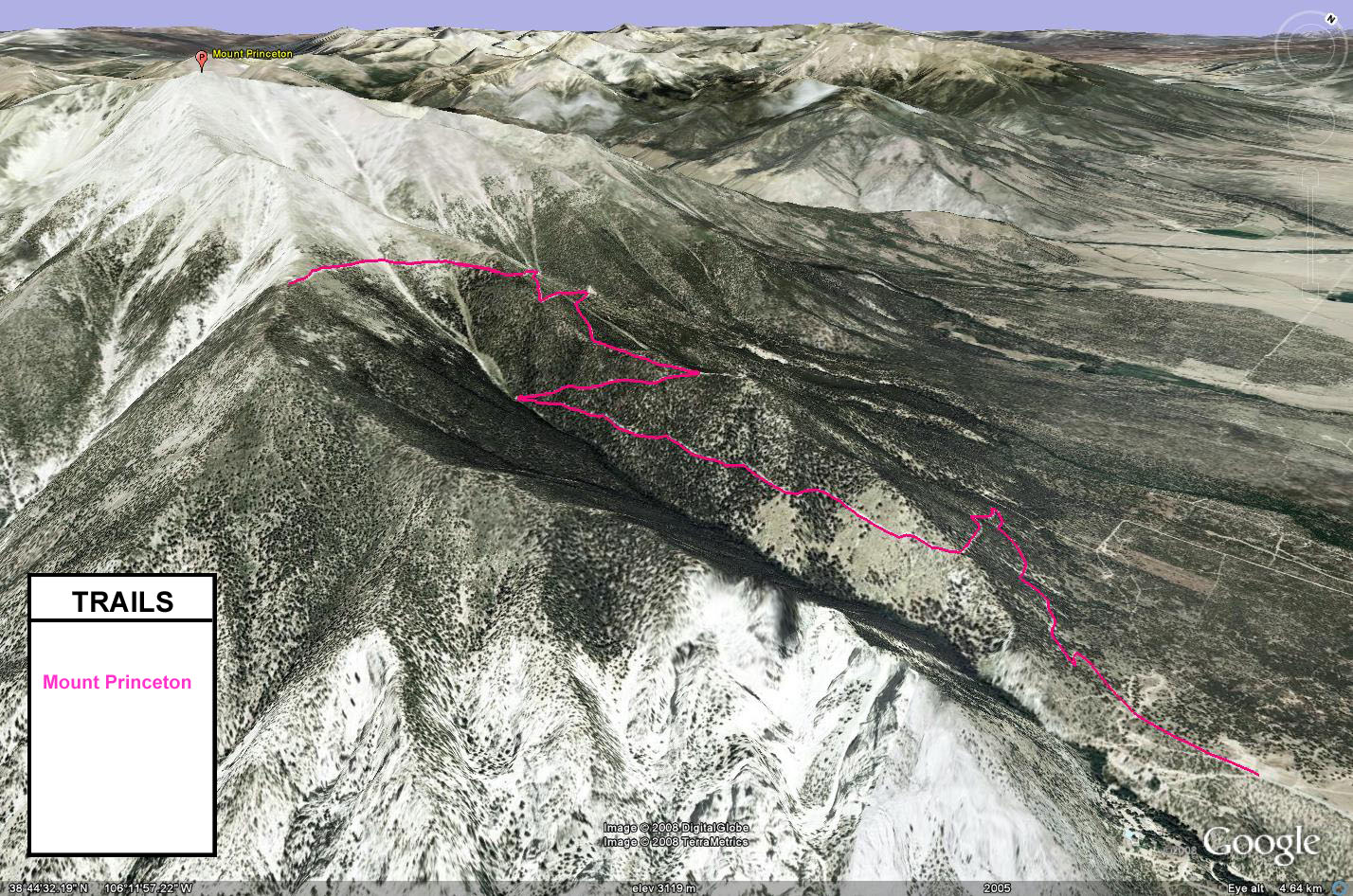
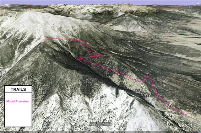
The Mount Princeton trail is a popular trail in the area because of it's easy access. While most of the trail is easy, the last shelf road at the top is a little narrow and off-camber in sections that might give trouble to anyone who is afraid of heights. This section of the road also has few places to pass other vehicles (as I found out when I had to backup a long ways on my way back down from the top), so keep watch for oncoming traffic.
When you reach the top of the trail, you are greeted with great views of Mount Antero across the valley. There is a hiking trail from the parking area at the end of the trail that leads to the top of Mount Princeton, which has an elevation of 14,197 feet. The parking area is just above 12,000 feet. If you are not up for the strenuous hike to the top of Mount Princeton, there is a shorter hike that takes you to the Bristlecone Park USFS Chalet. This chalet is open to the public to stay in, as long as you leave it better than you found it.


When you reach the top of the trail, you are greeted with great views of Mount Antero across the valley. There is a hiking trail from the parking area at the end of the trail that leads to the top of Mount Princeton, which has an elevation of 14,197 feet. The parking area is just above 12,000 feet. If you are not up for the strenuous hike to the top of Mount Princeton, there is a shorter hike that takes you to the Bristlecone Park USFS Chalet. This chalet is open to the public to stay in, as long as you leave it better than you found it.