• Welcome to the new NAXJA Forum! If your password does not work, please use "Forgot your password?" link on the log-in page. Please feel free to reach out to [email protected] if we can provide any assistance.

Table Mountain Wheeling Run Report

rooneypower

NAXJA Forum User
Location
Woodinville, WA
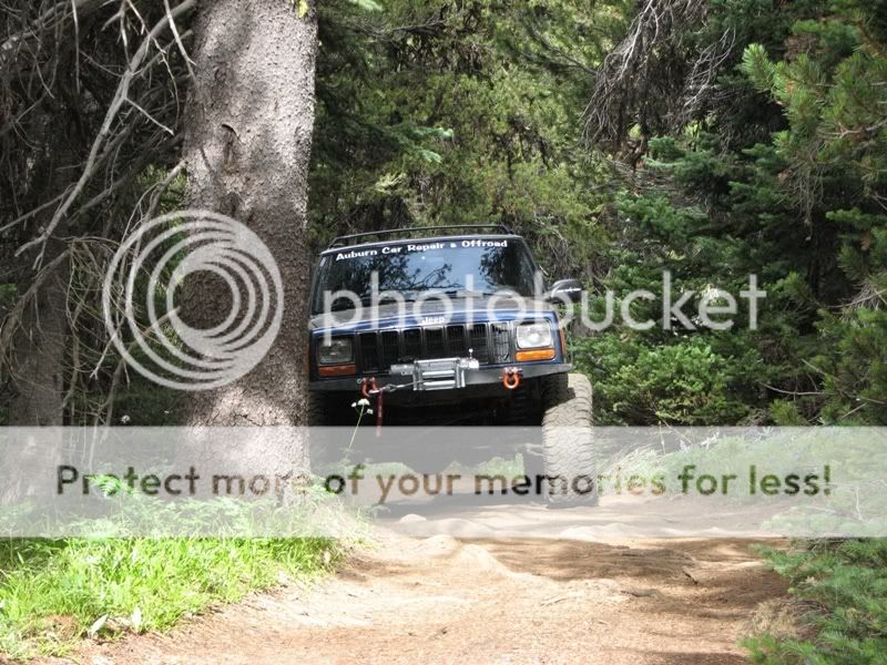
This outing was going to originally be just a camping trip with my Dad and my friend’s family. While we were planning for this trip I got to thinking about bringing my Jeep and exploring the extensive trail network around Table Mountain. Table Mountain is located north of Ellensburg and can be accessed by Jeep trails via the city of Liberty off of Highway 97.

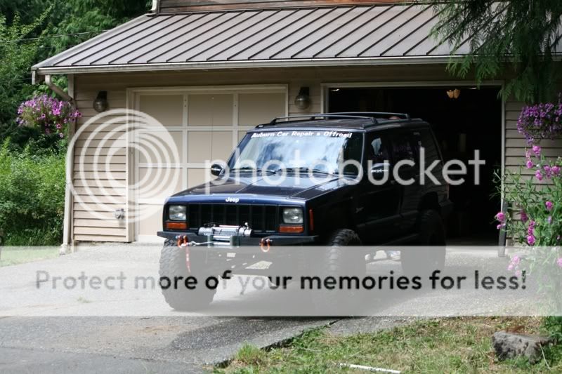
I was currently working on an “upgrade” to my Jeep the week before we were supposed to leave. I’m not going to mention the “upgrades” that I did because I will post another thread about it when I’m 100% done. For the people that know my Jeep, you might be able to find what is different about it. J So needless to say I was working every night on my Jeep to get it ready for this trip. Turns out I finished the Jeep at 11:55 p.m. the night before we were going to leave. Went home and caught some sleep before we left.

IMG_1812.jpg


The next day we packed up my Jeep and my Dad’s car with our camping supplies and headed out. Before we left Woodinville, Dad found out that his car was leaking antifreeze. We took it to a shop and had to wait for a day until it was done. So we left a day late.

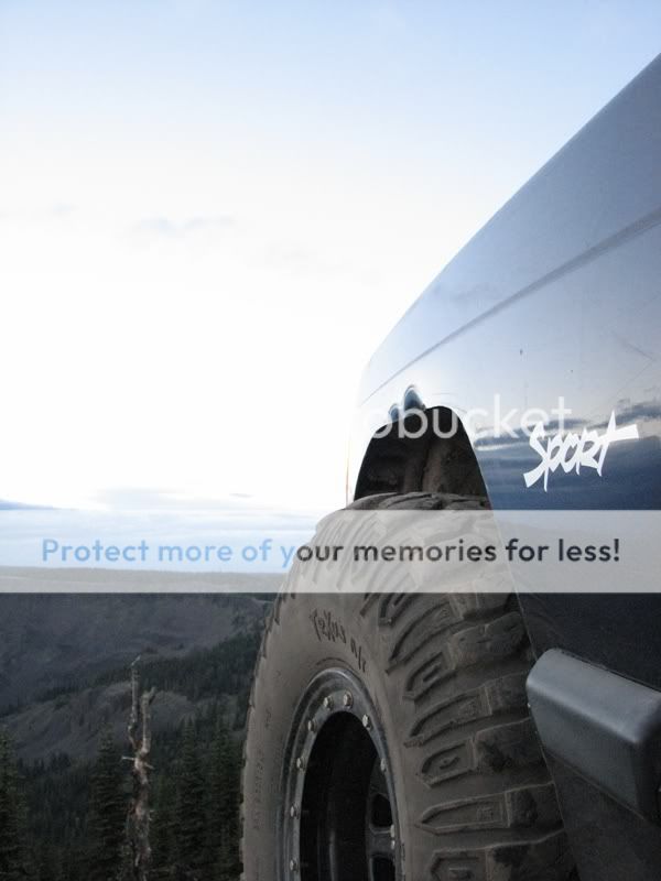
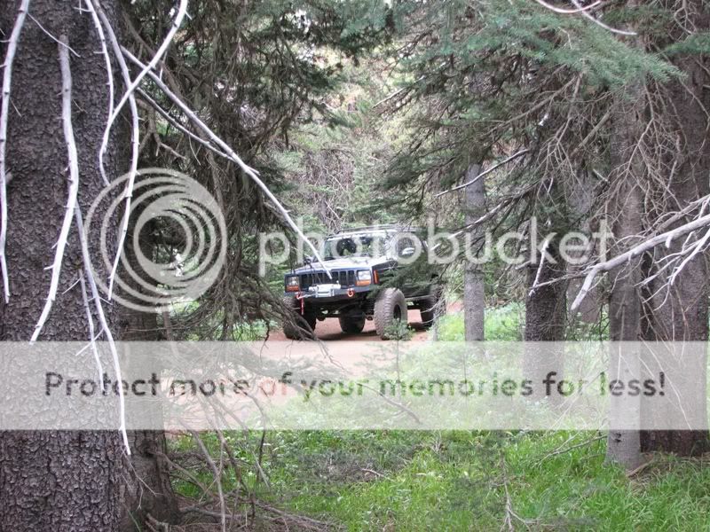
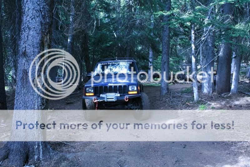
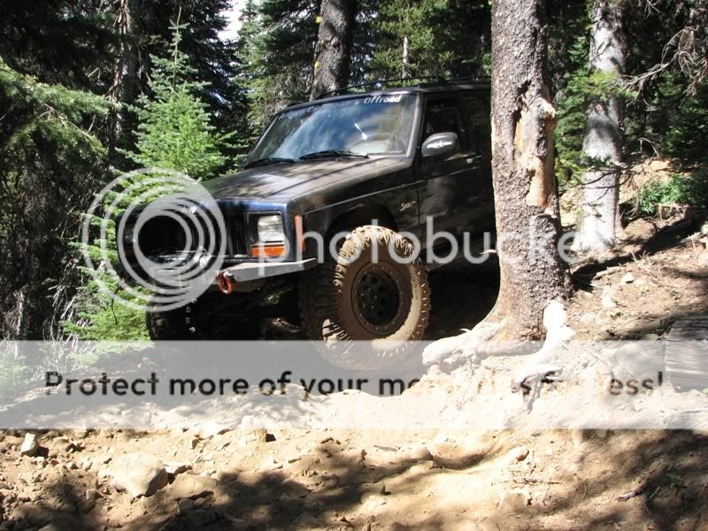
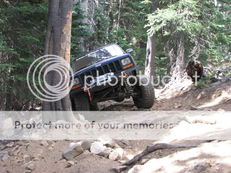
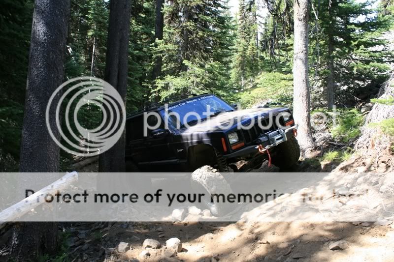
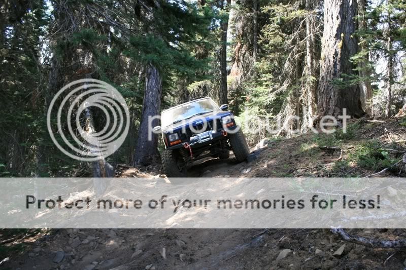
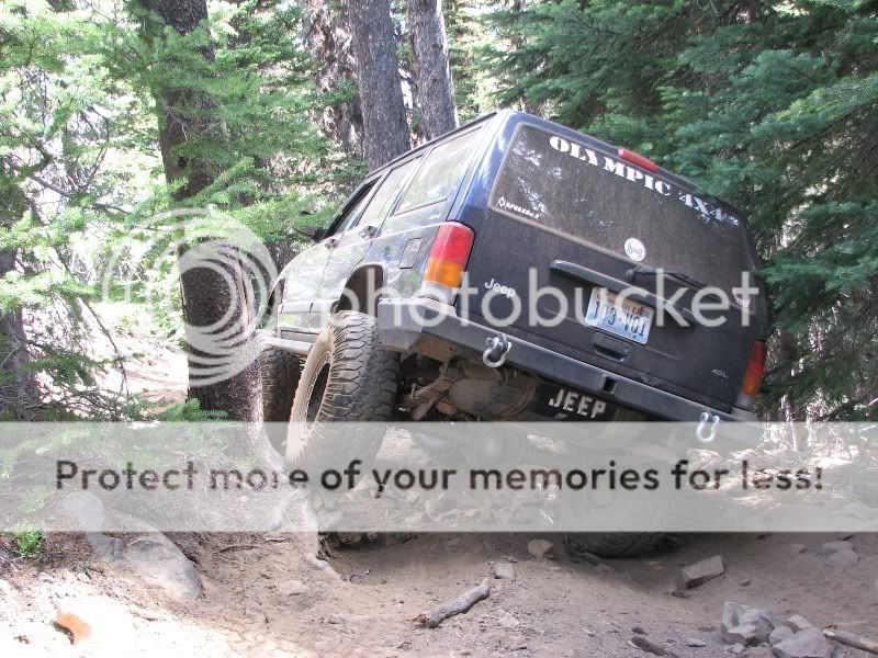
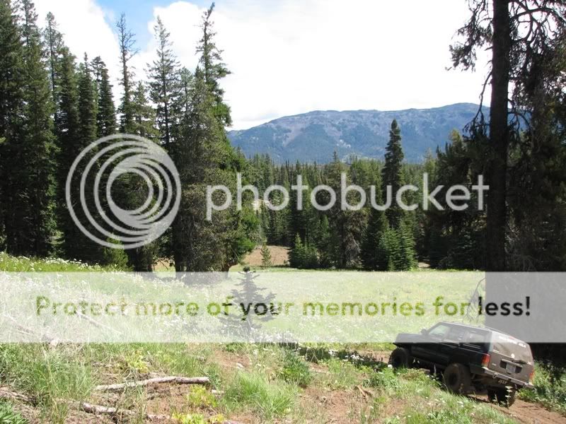
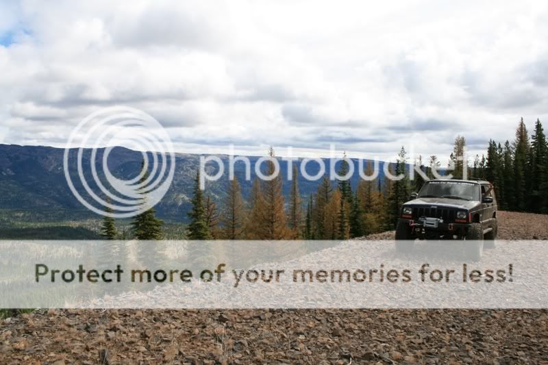
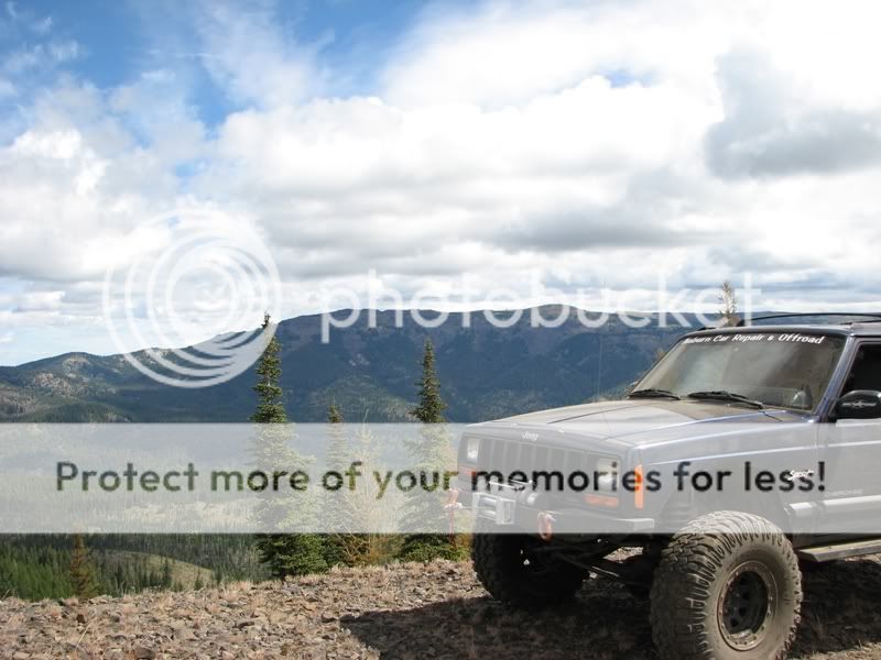
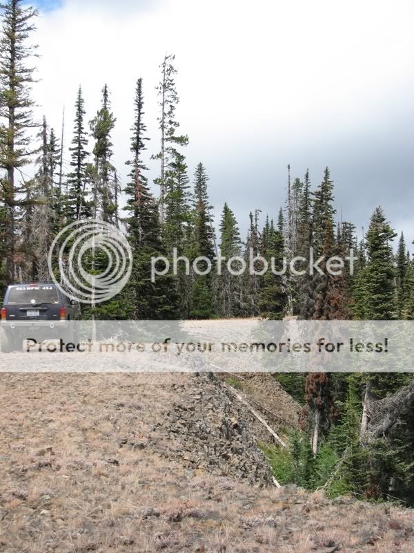
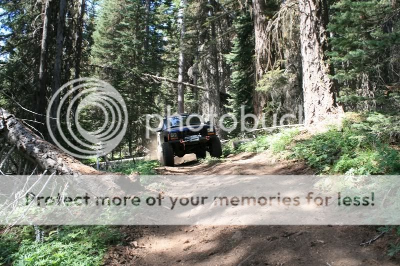
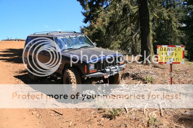
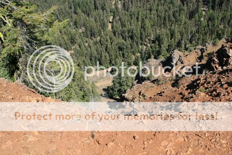
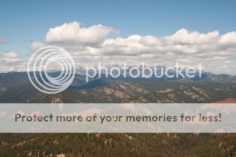
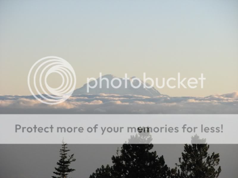
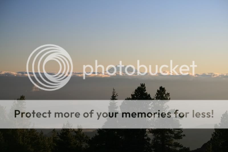
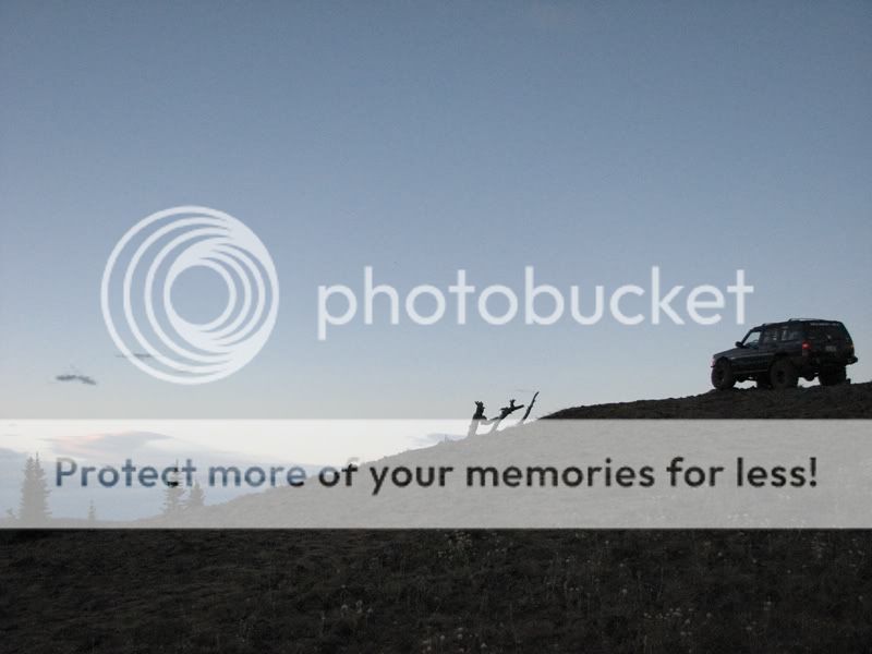
Finally the next day we were on our way to Table Mountain. The drive was uneventful and arrived there around 5:00 p.m. with clear sky’s and beautiful views.

IMG_1823.jpg

IMG_1824.jpg

IMG_5295.jpg

IMG_1829.jpg


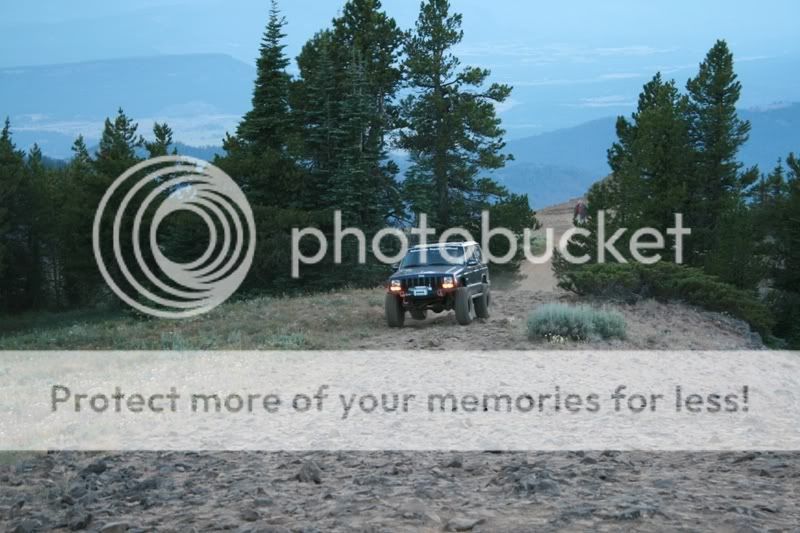
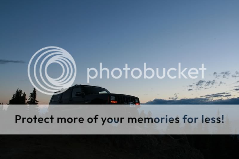
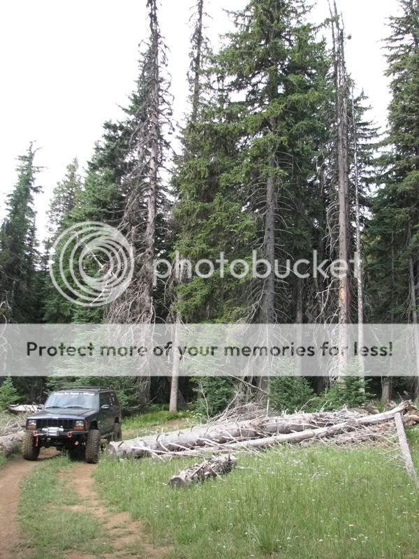
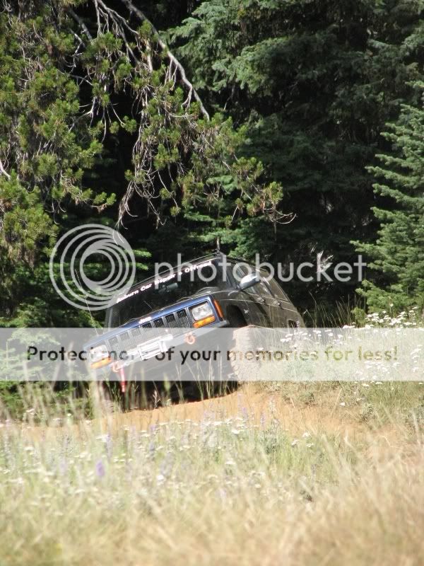
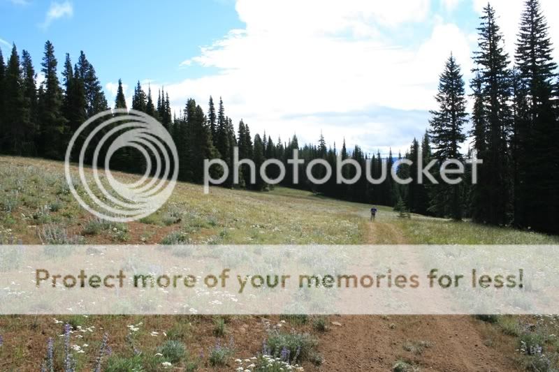
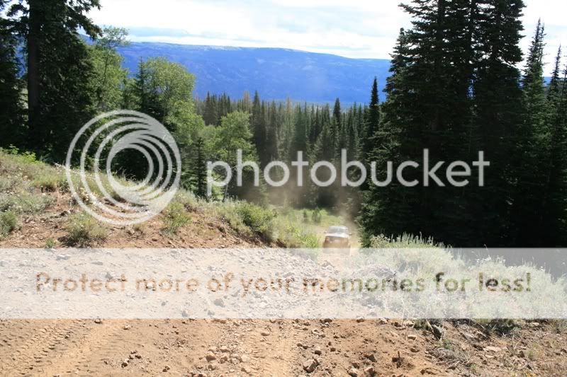
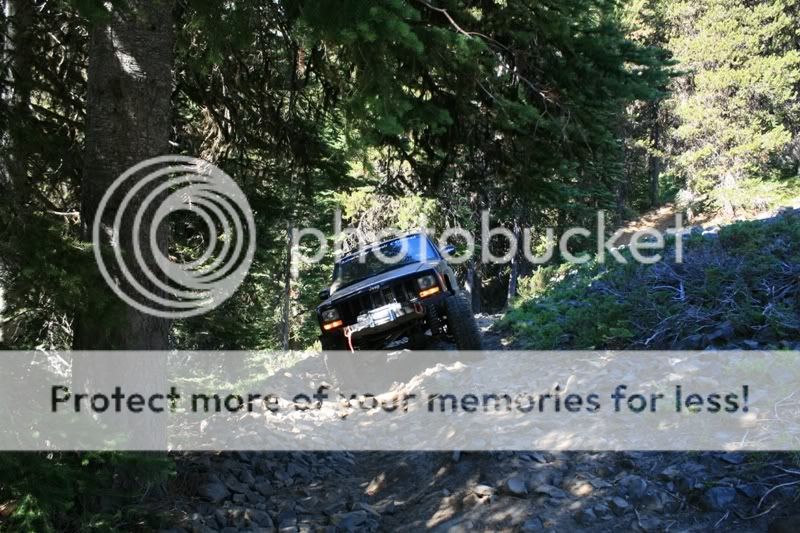
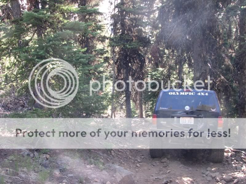
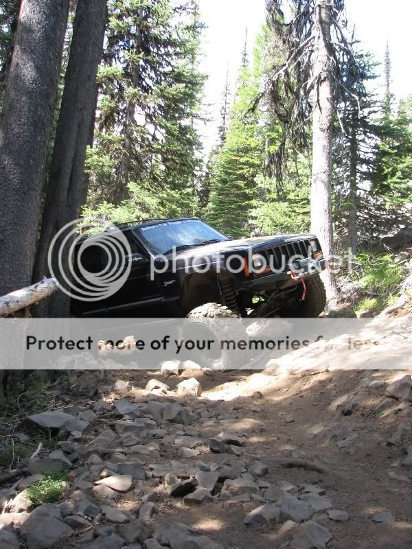
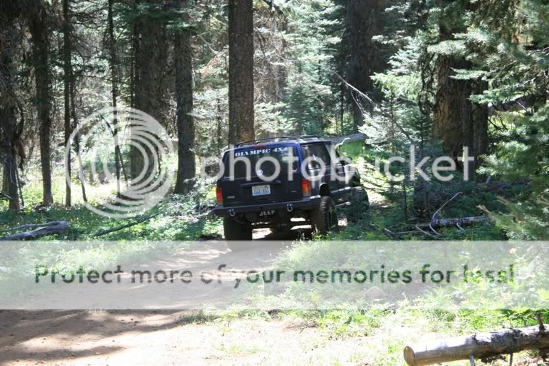
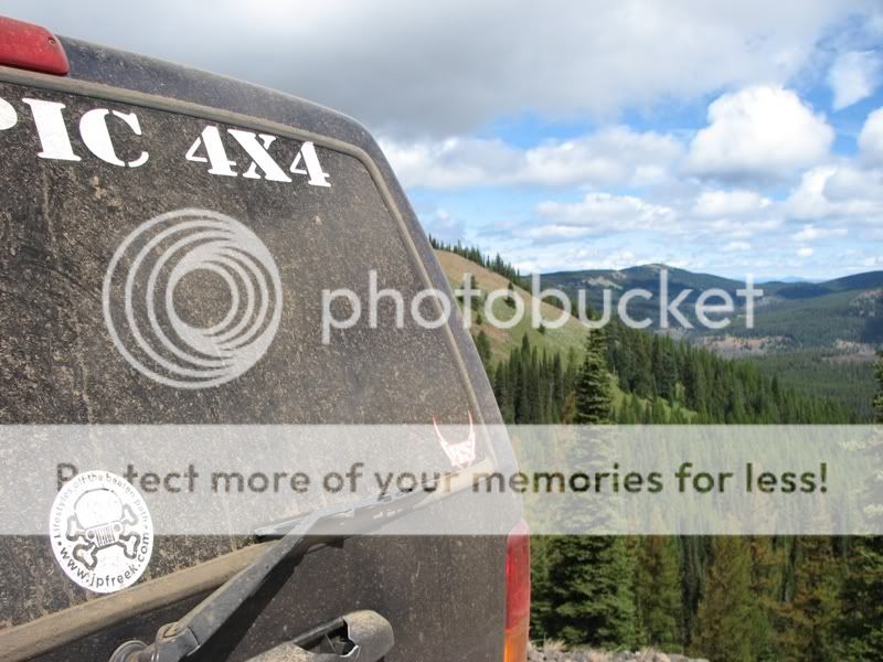
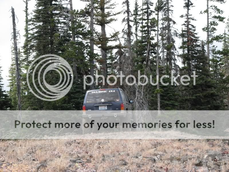
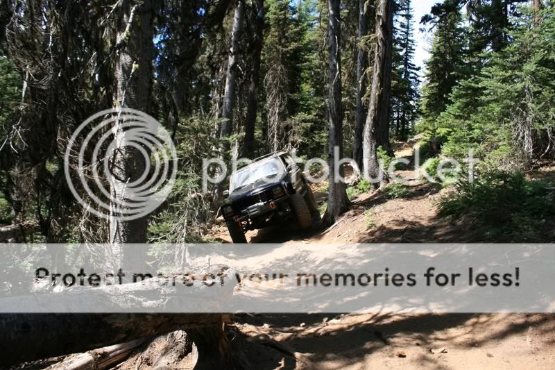
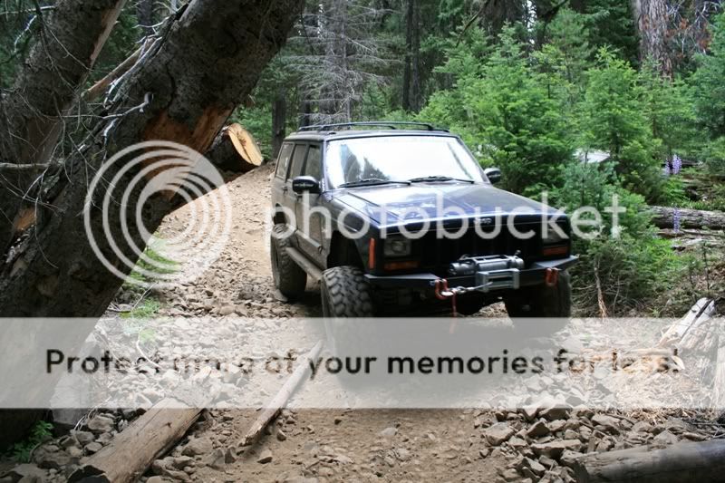
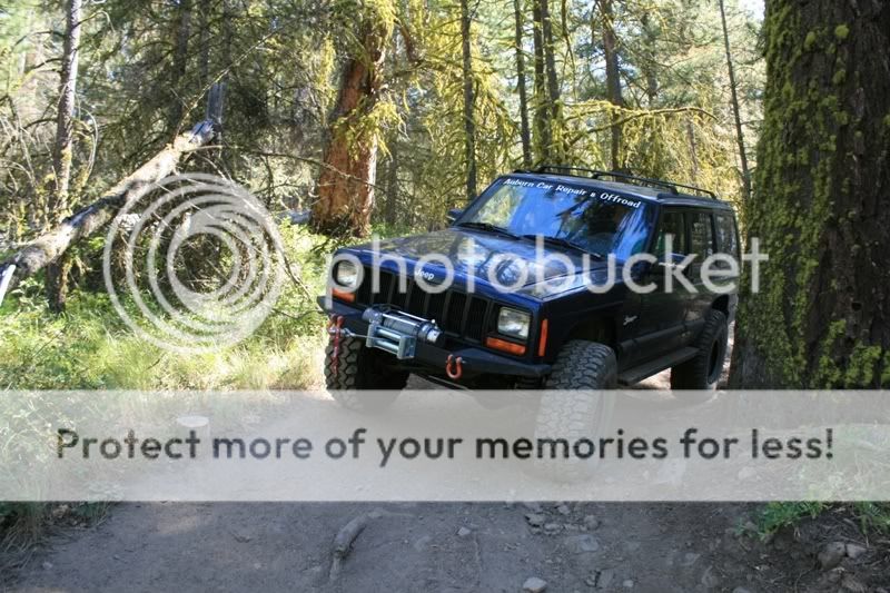
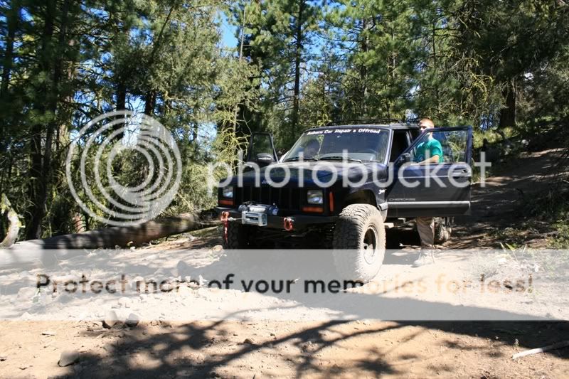
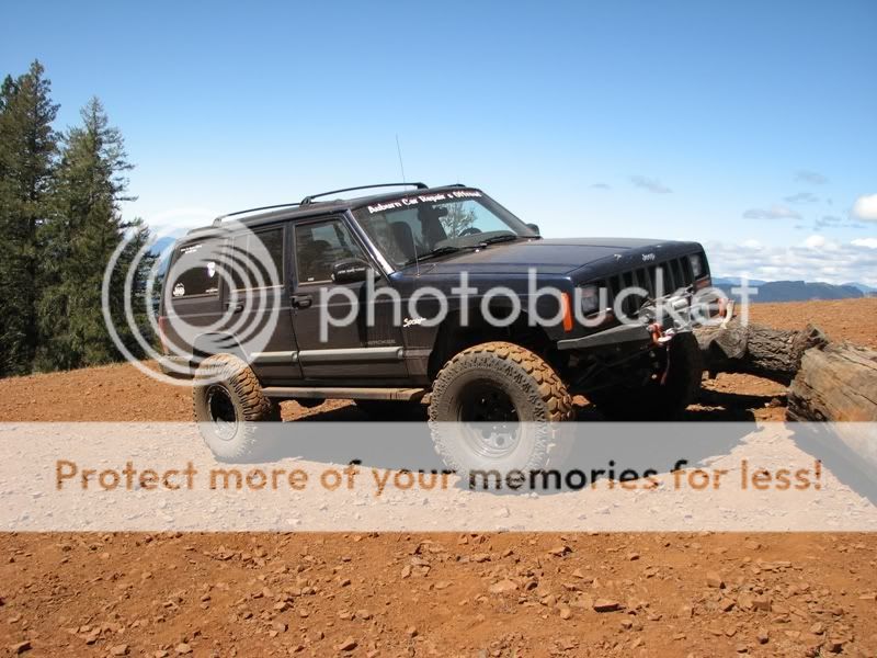
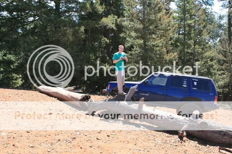
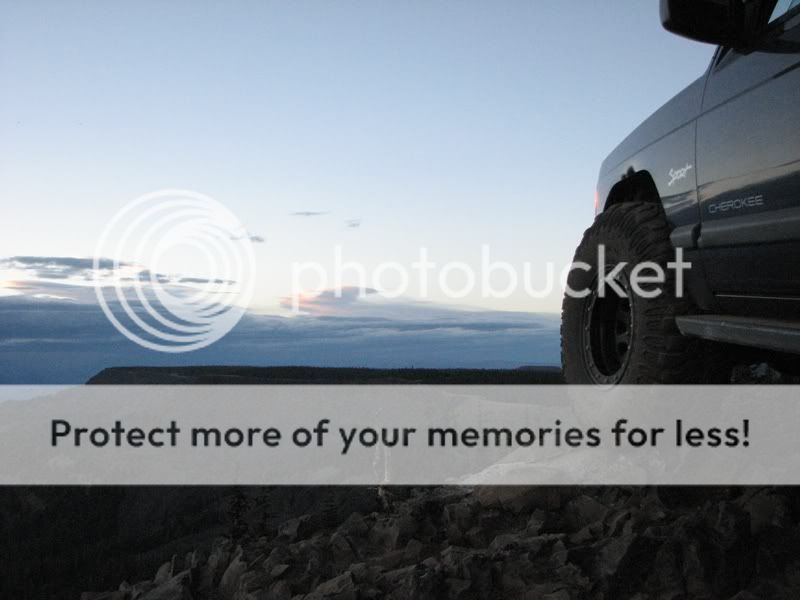
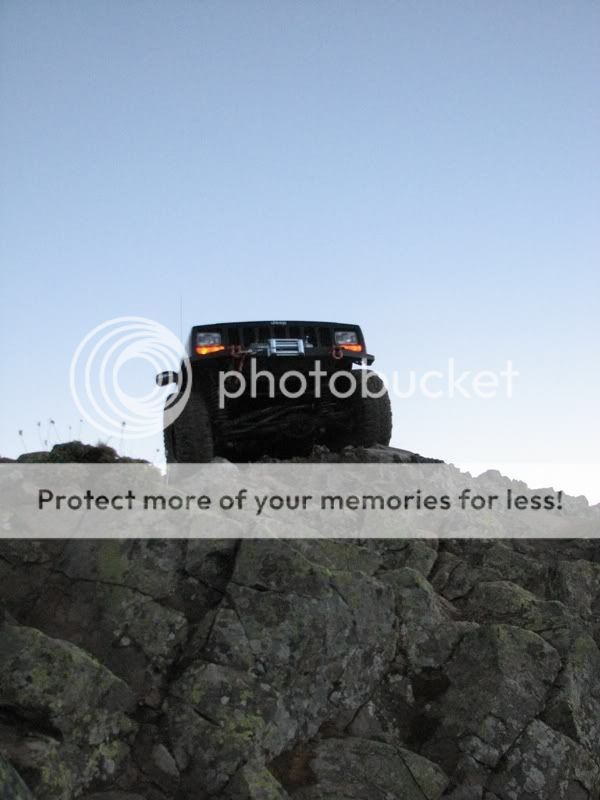
We took our time setting up camp and then my buddy and I decided to drive up to Lion Rock just a mile away.

IMG_5297.jpg

IMG_5300.jpg

IMG_5301.jpg

IMG_5304.jpg

IMG_5307.jpg
 
IMG_5313.jpg

IMG_1836.jpg

IMG_1838.jpg

IMG_1842.jpg


After it got dark I headed back to camp to look at the trail map and enter GPS coordinates of the trails we wanted to run the next day.

Travis and I woke up to a misty and cloudy morning. The temperature was hovering around 40 degrees. We boiled some water and ate some oatmeal, then left camp around 9:00 a.m.

The first trail was called Nealey Creek and the trailhead was about a mile away from camp. The plan was to run Nealey Creek Trail which came out on a forest service road and then run Regan Trail back to the beginning of the trailhead. Nealey Creek began by meandering through trees and meadows.

IMG_5317.jpg

IMG_5318.jpg

IMG_5321.jpg


For some reason, there was only shitty weather around camp. On the trail it was sunny and clear. This trail was VERY easy at the beginning. A stock car could easily make it through the trail. About 20 minutes in, the trail opened up into a huge meadow.

IMG_5323.jpg

IMG_5325.jpg

IMG_1859.jpg

IMG_1862.jpg
 
Back into the trees we went. From here on the trail became a real “trail”. It was still very easy though.

IMG_1851.jpg

IMG_1853.jpg

IMG_1854.jpg


Without warning, the trail opened up and a very steep hill climb came into view. Finally, some real wheeling.

IMG_1863.jpg

IMG_1864.jpg


Then as fast as we climbed the hill, we started going down. Now it was very rocky and dirt was loose. The camber was severe and tested my comfort level. The views were spectacular.

IMG_1872.jpg

IMG_1871.jpg

IMG_5330.jpg


At this point there was a left hand turn with a sharp drop off on the passenger’s side. I turned the wheels to go around the turn and I started sliding. I got it stopped with my passenger’s side tire on the precipice of the drop off.

IMG_5331.jpg


Something didn’t feel right….

IMG_5332.jpg


A flat! At the trailhead I went from 28psi in all tires to 20psi. With the drop in pressure and a sharp rock, I had a hole in my tire. I still don’t know how it happened or where. No wonder my Jeep was loosing traction at that point. So I had to fix it there on the edge of a drop off.

IMG_5333.jpg
 
I blocked the back tires and broke out the hi-lift. Then slowly lifted the front end making sure the Jeep didn’t move on me. About half an hour later, the new tire was on and we were on our way again.

From that spot on, it was all downhill and severe camber the rest of the way. The trail didn’t really test my wheeling abilities, but it sure made me nervous in some spots, just because of the repercussions of screwing up would be a winch fest or a roll over.

IMG_5335.jpg

IMG_1875.jpg

IMG_1876.jpg

IMG_5339.jpg

IMG_5341.jpg


Around 45 minutes later we were nearing the end of the trail. It then opened up once again into a meadow.

IMG_5342.jpg

IMG_5346.jpg

IMG_1893.jpg

IMG_1898.jpg


After the meadow, the forest service road came into view. I turned right and headed up the road to our next trailhead. Once again, the views form the road did not disappoint.

IMG_1902.jpg

IMG_5348.jpg
 
The road did a lot of climbing and as a result, Regan Trail was fairly flat with about 500 feet of elevation over 3.75 miles. The trail skirted a ridge for about a mile presenting us with stunning views.

IMG_1911.jpg

IMG_1910.jpg

IMG_5351.jpg

IMG_5352.jpg

IMG_5354.jpg

IMG_1921.jpg

IMG_1925.jpg

IMG_5355.jpg

IMG_1914.jpg


While on the trail a chipmunk graced us with his presence.

IMG_5363.jpg

IMG_5364.jpg
 
Once the trail deviated from the ridge, the ride back to the beginning was uneventful, wondering through the trees and opening up to the occasional meadow.

Shortly thereafter, we reached where our expedition began and headed back to camp. Once there I talked to my Dad about driving down into Ellensburg to patch my tire so I would have a spare for the days to come. He liked the idea so Travis and I headed off to find a tire shop. Long story short, we got the tire patched but were warned to stay off of it as much as possible because they didn’t know how long it would last. We drove back to camp, goofed off for a while, and then went to bed.

The next day we were going to run a trail called Tuff Ridge. It was a 20 minute drive from camp to the trailhead and as like yesterday the trail was filled with off camber and immediately started to drop in elevation.

IMG_1883.jpg

IMG_1886.jpg

IMG_1887.jpg


The trail went downhill for about 3 miles. This was some of the steepest slopes I have ever been on. 4Lo was mandatory. These pictures don’t do justice to how steep it really was.

IMG_2073.jpg
0

IMG_1930.jpg

IMG_2065.jpg

IMG_2067.jpg

IMG_2071.jpg


As soon as we got to the bottom of the ravine, we crossed a small river and climbed back uphill about the same distance. It was just as steep.

There is not much more to show on Tuff Ridge Trail. It met up with a trail called Crystal Mountain Trail. I decided to turn left and go up to Crystal Mountain. Crystal Mountain Trail dead ends at the edge of a 500+ foot cliff and is quite a sight. Think of it as a mini Index Wall. Apparently a Jeep drove right off of the cliff at night and the passengers died. I learned this by a group of bikers we met up there.

IMG_2147.jpg

IMG_5371.jpg

IMG_5374.jpg


We got to the forest service road in about 30 minutes and a couple of cool shots were had on the ride back to camp.

IMG_5410.jpg

IMG_5408.jpg
IMG_5421.jpg

IMG_2297.jpg

IMG_2293.jpg


All in all, this was by no means a difficult wheeling trip. I didn’t want it to be. I was the only Jeep, no one to help me out of situations. I had lots of fun and so did my friends. My expectations of the “upgrades” were blown out of the water. They performed beautifully. If I didn’t have them, I know that this would have been a lot harder of a trip. This has been one of the most pleasurable wheeling trips I have been on to date. Every turn in the trail was a view out across some valley. Each hill ascended, was an opportunity to gaze upon Mt. Rainer and Mt. Adams beauty. I am sure I will be returning to this place and spending more time there and trying more challenging trails…

Keil
 
Nice write-up, looks like a series of great view trails. That sidehill stuff can sure get spooky, eh?
 
fubar XJ said:
Nice write-up, looks like a series of great view trails. That sidehill stuff can sure get spooky, eh?

Thats true. It was not just the sidehill, but what would happen if i started to slide. there was always some cliff or drop off on the other side:shocked:


Keil
 
Back
Top