• Welcome to the new NAXJA Forum! If your password does not work, please use "Forgot your password?" link on the log-in page. Please feel free to reach out to [email protected] if we can provide any assistance.

Cleghorn Ridge Friday Nov 25

saki669

NAXJA Forum User
If anyone is interested we are running the Cleghorn Ridge Trail friday the 25th. Be at the trailhead at 8:45am.

Directions:
Cleghorn trail is about 1/2 mile south of the 138 off of Interstate 15. Exit Cleghorn road, trail starts right off the highway.


Chime in if you will attend.

-Kirk :wave:
 
freerider15 said:
What's the trail's difficulty? Since im not form CA, how far is it from say L.A.?

From whittier? maybe 45 min to the trailhead. Take the 605 north to the 210 east, then 15 north for about 10 miles.

the cool thing about this trail is you can bypass a lot of the tough stuff. Its basically a fire road that winds around the mountiain and over to silverwood lake. The tough part goes straight OVER the mountain, meeting up with the fire road several times.

You could probably do it in 2wd if you drive really well (definitely the fire road part anyways) Its been a while since I've been up there (legally).

Either way in 4x4 or 2x4 the views are incredible.
 
If there is going to be B-day cake, I might show up. :)
 
saki669 said:
What happened to your locker?
I'm sure you will be fine.
Come play.

Locker is fine....but I broke a front shaft at JV...4340 Yukon.

I guess that Trutrac works well enough;)
 
Im in for Saturday, if you bring milk (2%) to go with the cake (cookies would be accetable too.)
 
Ive done it in 2wd in a fullsize blazer with 35's but it was definatly easyer before the rains. I recommend it hell I might have to pass on turkey day and thrash on the heap since that is practicly my back yard
 
saki669 said:
I "borrowed" some photos from the MJR site:
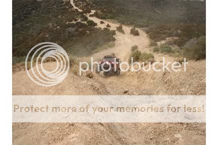
This is cleghorn:
use4.jpg


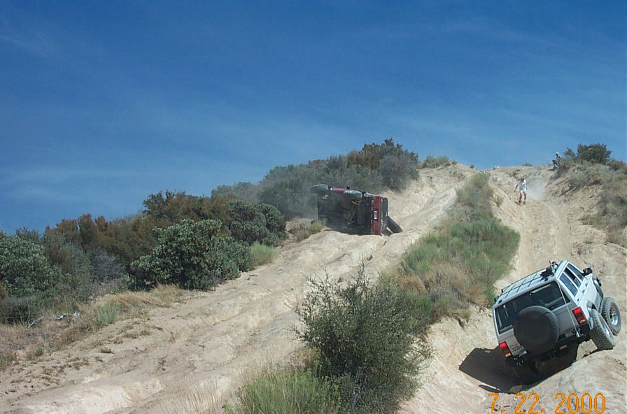
How far are you planning on going? Technically, that pic of the SWB Jeep going up is NOT Cleghorn. That is the big hill on 2N17X. Trust me, I know that hill.

First Attempt:
UH%20OH%202.jpg


Back with a new Jeep:
491525_9_full.jpg


You can start from the 15, and go all the way through the other end of big bear. You start at the Cleghorn ridge trail and it turns into 2N17X, to Pilot rock trail, to the north end of lake arrowhead, then from deep creek on over to John Bull.

I was recently there last month repairing that trail with the SBNFA and an Adopt-a-Trail with the Victor Valley 4-wheelers and some hummer guys. I'd be interested to see how are erosion control lasted so far.

:flipoff:
 
OK, it looks like we are going to do this on Saturday instead of Friday. The MJR people will be there at 8 so lets show up at 8:45 to give them some lead.

See you there!
 
Odd question, but are there any places near to fill up with air around the trail or anyone with a compressor I could use once done with the trail to air up? I used up the last of my CO2 after JV, and have yet to find a place near me that can FILL a tank, not just swap it out. I'll do the trail non-aired down if I have to, but i'de *prefer* not to.
 
freerider15 said:
Odd question, but are there any places near to fill up with air around the trail or anyone with a compressor I could use once done with the trail to air up? I used up the last of my CO2 after JV, and have yet to find a place near me that can FILL a tank, not just swap it out. I'll do the trail non-aired down if I have to, but i'de *prefer* not to.

There are several gas stations off the 15 and the 138.
 
Back
Top