this burn area is confusing me... this is the 9th anual cleenup. but we still cant wheel the area? not shure where it is, or if it wil ever open up to legal use? what is the goal for the cleenup? "to cleen it up" ha ha. no thats the point of it. thers plenty of forest sirvace roads needing cleenup. just trying to find the relavence.
not trying to be negative. i just dont understand whats up with this area...
Bronze.
No worries, I know for the most part the "Yacolt Burn" isn't a widely known area.
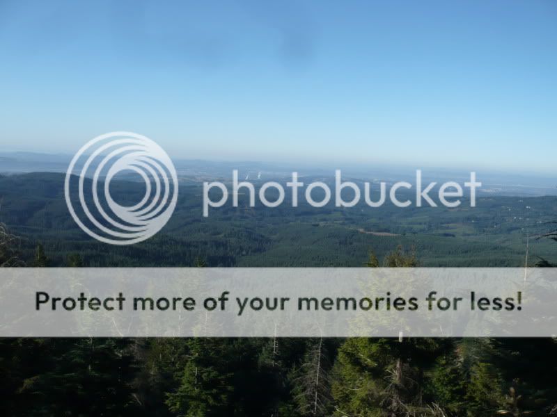
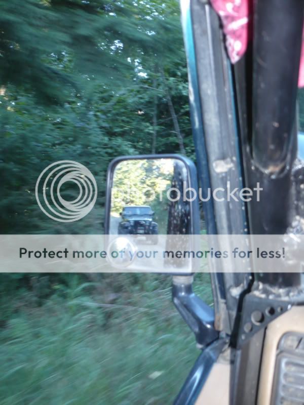
This is the 9th annual clean-up for the Yacolt Burn State Forest as a whole. Just recently we've been trying to gear it more toward the motorized community to help support the new four wheel drive trail system. Currently as far as recreation goes there's only hiking, horse, mountain bike, quad, and motorcycle trails available in the forest. There's no legal four wheel drive trails open yet.
The Yacolt Burn ORV project is only a few years old. Progress is slow but steady. We have a 13 mile four wheel drive loop on the ground, and GPS'd. We're waiting for some more loose ends to be tied up, and will hopefully be turning dirt here shortly. Once this first section is completed, we'll move onto the next section which will consist of another ~10 mile of trails, and then finally the third section of an additional ~10 miles. It's a long term project, but I'm amazed at how much progress has been made just in the past few years.
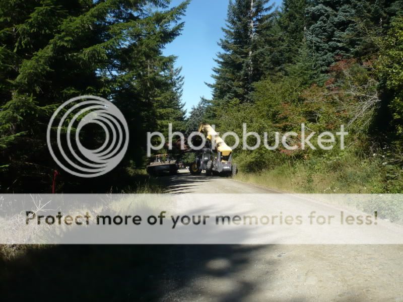
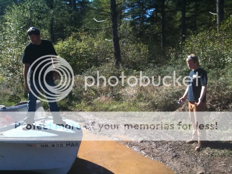
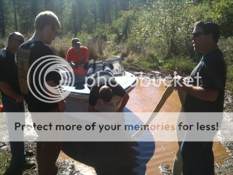
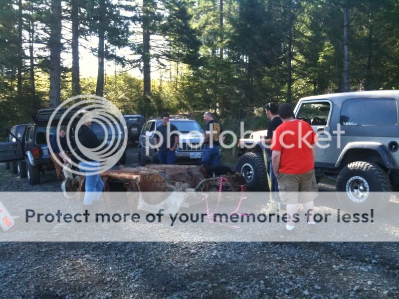
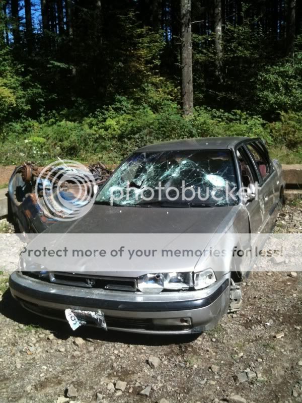
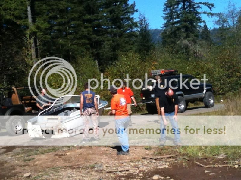
What's the goal of the clean up? To basically clean up the forest where we all recreate. The Yacolt Burn is fairly close to the "city" so unfortunately it gets a lot of use by those who don't always pick up after themselves. Dump sites are pretty common up here, shooting sites are littered with appliances, and there's usually multiple torched cars as well (not a goal for this clean up). The Department of Natural Resources partners up with volunteers once a year to help make the forest a better place (much like the SOLV clean up at TSF). I believe last year over 1000 volunteer hours were logged in just one day (don't quote me on that).
Let me know if there's other questions. I've spent a more than a few hours on the project this year. Also, like I said this is a great opportunity to tour the area, talk with DNR about the project, and look at the maps of the proposed sections.
Direstions:
Driving Directions to the Jones Creek Trailhead:
- From either northbound or southbound I-5, take I-205 exit towards Vancouver, WA.
- Use Hwy 500 East (Exit 30-Orchards Exit).
- Go east on Hwy 500 to Fourth Plain (1st light) and turn right continuing on Hwy 500 East (Camas).
- Go 6.3 miles, turn left on 53rd St.
- Go 3.2 miles, turn left on Ireland Rd.
- Go .3 miles turn left on Lessard Rd.
- Continue on Lessard Road for 4 miles and follow signs to Jones Creek ORV.
W122-18'39.13" N45-40'0.39"


 representative.