So while I enjoy wheeling, my true passion is exploration. I'm pretty active over at PNWAdventures.com and this past weekend, I lead a trip through the Mt Hood National Forest. I thought I'd repost my trip report over here as I was encouraged to do so by some  members a while back.
We always welcome new members and we do trips every few weeks around the northwest.
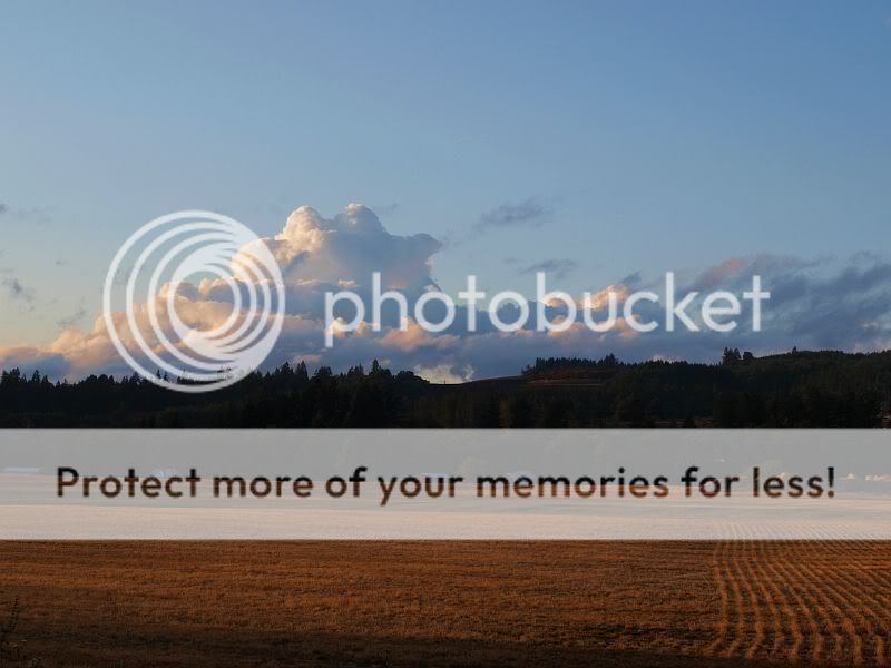
Things started out nice, at least for me. The sunrise was rather unusual as it appeared to be glowing over a ridgeline, it was hard to capture but I tried.

The plan was to meet at the Territory restaurant, in Welches next to the fire station. However, when I got there, I discovered the restaurant I was thinking of was actually named differently, I think the Barlow Country restaurant? It has managed to escape my mind. Anyway, I headed a bit east in case the Territory was actually up further, it wasn't. I did, however, pull through the Tollgate Campground just as Brian was pulling out so after a brief discussion, we headed down to the restaurant where Eric was just pulling in. As we talked in the parking lot, Rich and Jan pulled in and we decided to go in and eat. Shortly after sitting down, Mick and Joey joined us.
After breakfast, I headed down the hill a ways looking for lost members of our party, then back up toward the Still Creek road, which turned out to be a good thing because there was a detour in place since last winter because of storm damaged roads. After not finding anybody, I headed back to Welches to find that Larry and Jeff had joined our group. After waiting till 830 for any stragglers, we headed out, briefly on the highway before turning off on Road 20 just past Rhododendron. The road first wandered through some cabins before following one stream then another and eventually, Still Creek as we climbed uphill.
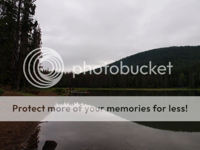
Shortly, we came out on the west side of Trillium Lake, opposite the popular campground. We circled around the south end of the lake, stopping at a day-use parking area near the dam. Normally this locale has a wonderful view of Mt Hood but with the inclimate weather, we saw nothing but clouds.

After allowing a few members to use the facilities there, we headed back for the highway and turned south/east till we got to Frog Lake. Frog Lake also boasts and wonderful view of Mt Hood but, once again, we were foiled by the clouds. At least Brian was able to let his dog, Wally, out of the car to play
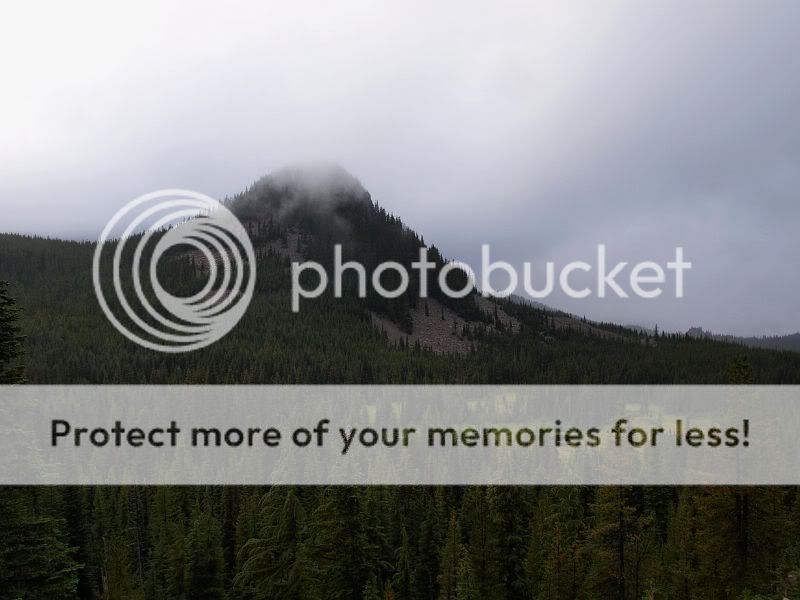
Then it was back on the highway for a few short miles before we turned off on the 2660 road which zigzag along the hillside above Clear Lake, offering the occasional glimpse down at the lake. We then turned west on the 58 road and beelined for High Rock, which usually offers views of at least two Cascade peaks, but, as the day was going, offered clouds... This time we were up in the clouds.

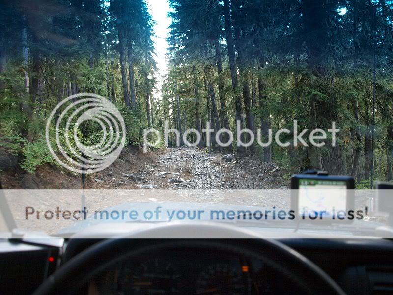
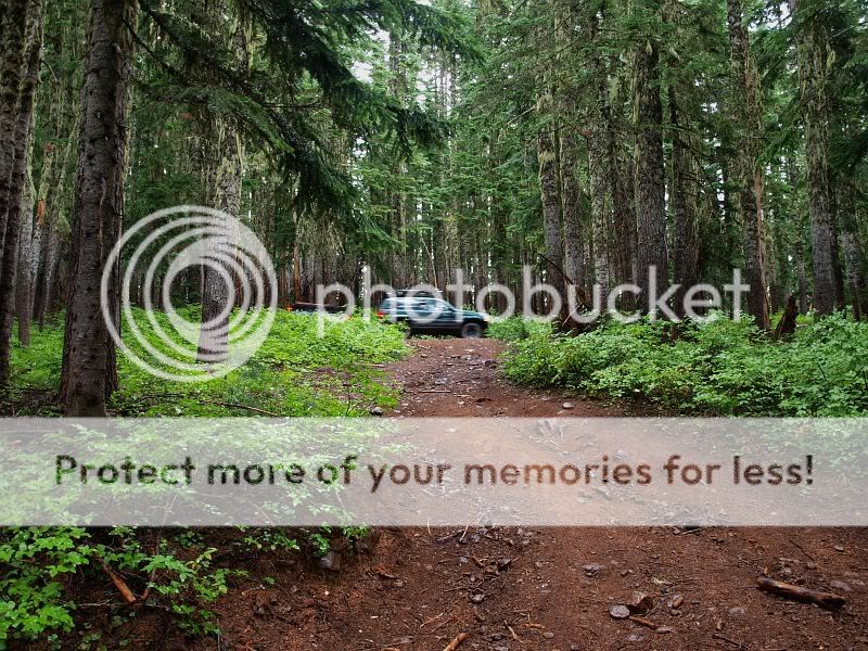
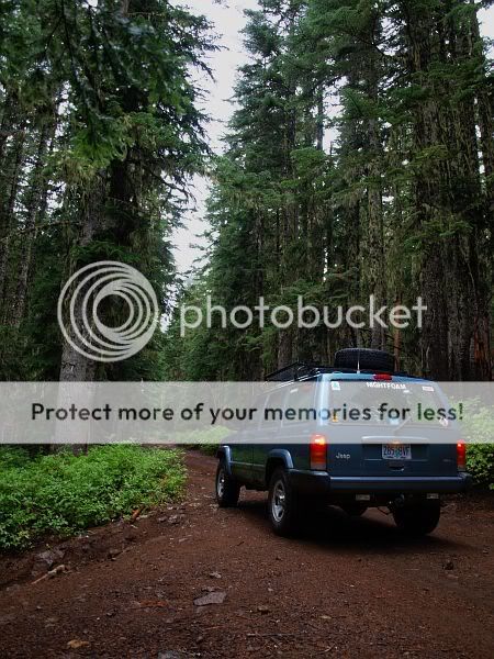
From there, we explored down the road toward Frazier Turnaround Campground. I was promised a very nice drive though it turned out to be not much. I think if there was less rain and more blue sky the road would be a lot more pleasant. As is the Backroad Driver's way, we skipped bypasses along the road that, while looking fun, would only increase erosion.

members a while back.We always welcome new members and we do trips every few weeks around the northwest.
Things started out nice, at least for me. The sunrise was rather unusual as it appeared to be glowing over a ridgeline, it was hard to capture but I tried.
The plan was to meet at the Territory restaurant, in Welches next to the fire station. However, when I got there, I discovered the restaurant I was thinking of was actually named differently, I think the Barlow Country restaurant? It has managed to escape my mind. Anyway, I headed a bit east in case the Territory was actually up further, it wasn't. I did, however, pull through the Tollgate Campground just as Brian was pulling out so after a brief discussion, we headed down to the restaurant where Eric was just pulling in. As we talked in the parking lot, Rich and Jan pulled in and we decided to go in and eat. Shortly after sitting down, Mick and Joey joined us.
After breakfast, I headed down the hill a ways looking for lost members of our party, then back up toward the Still Creek road, which turned out to be a good thing because there was a detour in place since last winter because of storm damaged roads. After not finding anybody, I headed back to Welches to find that Larry and Jeff had joined our group. After waiting till 830 for any stragglers, we headed out, briefly on the highway before turning off on Road 20 just past Rhododendron. The road first wandered through some cabins before following one stream then another and eventually, Still Creek as we climbed uphill.
Shortly, we came out on the west side of Trillium Lake, opposite the popular campground. We circled around the south end of the lake, stopping at a day-use parking area near the dam. Normally this locale has a wonderful view of Mt Hood but with the inclimate weather, we saw nothing but clouds.
After allowing a few members to use the facilities there, we headed back for the highway and turned south/east till we got to Frog Lake. Frog Lake also boasts and wonderful view of Mt Hood but, once again, we were foiled by the clouds. At least Brian was able to let his dog, Wally, out of the car to play
Then it was back on the highway for a few short miles before we turned off on the 2660 road which zigzag along the hillside above Clear Lake, offering the occasional glimpse down at the lake. We then turned west on the 58 road and beelined for High Rock, which usually offers views of at least two Cascade peaks, but, as the day was going, offered clouds... This time we were up in the clouds.
From there, we explored down the road toward Frazier Turnaround Campground. I was promised a very nice drive though it turned out to be not much. I think if there was less rain and more blue sky the road would be a lot more pleasant. As is the Backroad Driver's way, we skipped bypasses along the road that, while looking fun, would only increase erosion.