IntrepidXJ
NAXJA Member #647
- Location
- Grand Junction, CO
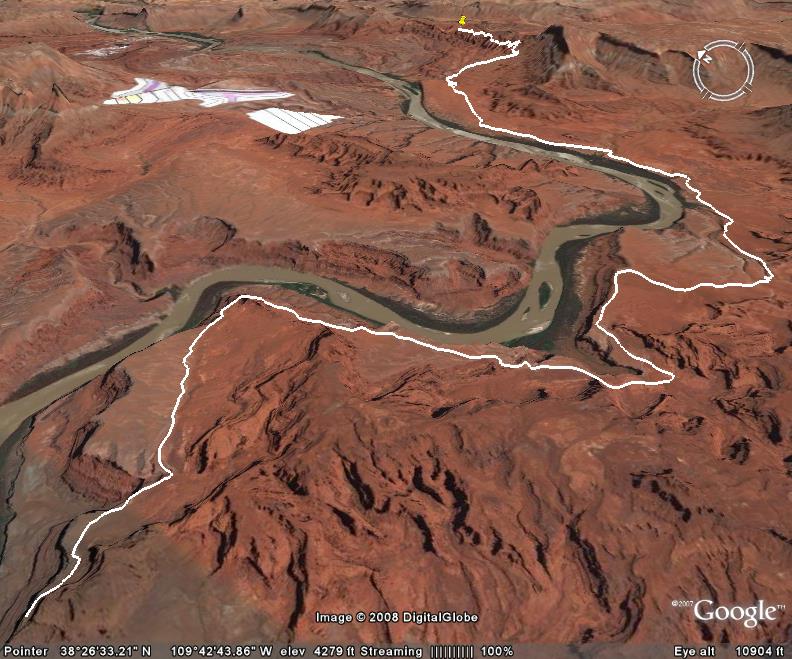
Chicken Corners trail starts at Hurrah Pass and then gradually winds it’s way down to the Colorado River which it follows for a while with some great views.
Most of this trail is easy, but there are a few rocky spots that might require a high clearance 4×4 vehicle. After running this trail you can also access Lockhart Basin on your way back if you are interested in making this trail part of a multi-day trip.
Dead Horse State Park is located directly across the Colorado River from the end of this trail. There is a very narrow footpath at the end of this trail, but I certainly was not brave enough to try it.